
 "Cong lashes out at PM over map showing Arunachal, J&K as 'disputed area'")
Ahmedabad/New Delhi: The Congress on Monday lashed out at the Gujarat government for projecting Arunachal Pradesh and Jammu and Kashmir as disputed regions in a map circulated during the signing of memoranda with China on 17 September. According to news reports, the map was distributed after the signing of the MoU with the Chinese side.
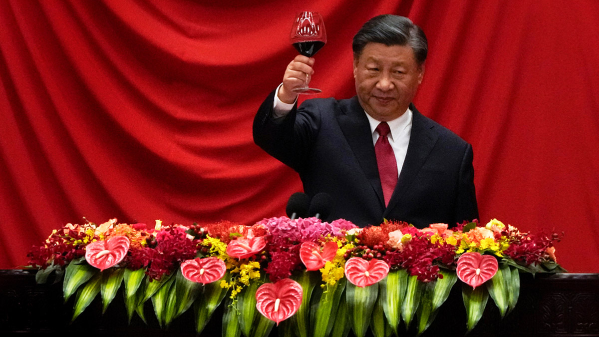
Congress leader Abhishek Manu Singhvi said the map showed Aksai Chin as part of China while Arunachal Pradesh and Jammu and Kashmir were shown in dotted lines, implying disputed regions. “This is a very serious matter because the goof-up took place in the presence of Prime Minister Narendra Modi,” he said.
Demanding an explanation from the government, Singhvi also attacked Modi. “Before the elections, he (Modi) talked about not letting the country down. I would now ask him to walk the talk,” he said. “Don’t humiliate the country,” he added.
Hours after Congress demanded apology from Prime Minister Narendra Modi over the maps, the Gujarat government defended itself saying that the map was not part of the memorandums signed with China.
“The map is showing the location of Guangdong Province and Guangzhou City in China. The map was neither signed by any officials of the Gujarat government nor endorsed by Government of Gujarat. The map shows the location and the other data such as geographical area, population, per capita, etc. The map was not part of the MoU signed,” the state government said in a statement issued in the evening.
The clarification came after Congress launched a scathing attack on the Modi government while voicing its concerns over repeated Chinese incursions.
“In this MoU, Arunachal Pradesh has been shown as a disputed territory. The Prime Minister should apologise for this major lapse and blunder,” party general secretary Ajay Maken said on his blog.
He was referring to a meeting on 17 September in Ahmedabad in which three MoUs were signed between the government of Gujarat and Gaundang province of China in the presence of Modi during which the Additional Chief Secretary of the state D Pandian had distributed a handout showing map of Gaundong province.
Maken asked, “whether in the MoU too, this particular map (showing Arunachal Pradesh as disputed territory) had been shown.”
PTI and IANS


 "This Week in Explainers: How India has taken a big leap to meet its semiconductor goals")
 "'Har chot ka jawab vote se dena hai': PM Modi attacks Mamata govt over Sandeshkhali issue")
 "Vantage | Why Global South must be wary of Xi Jinping's bid to be its 'champion'")
 "India and Mauritius: Gateways to Africa, investment and development")