
 "Indian, Chinese troops disengage in Eastern Ladakh, but decades-old ambiguity in demarcation of LAC remains unsolved")
The border standoff between India and China in Eastern Ladakh appears to be easing up for now, with the troops of both countries disengaging at three locations . A Chinese spokesperson also said on Wednesday that Indian and Chinese troops have started implementing the “positive consensus” reached by the senior military officials of the two countries on 6 June. Nevertheless, the broader issue of ambiguity on the demarcation of the Line of Actual Control remains. Indeed, while the Line of Actual Control has seen far fewer confrontations than the Line of Control (LoC) that separates Jammu and Kashmir from Pakistan-occupied Kashmir, the former is not nearly as clearly defined as the latter. A part of the reason why the issue has received relatively less attention could be the much sharper political rhetoric over Pakistan as compared to China. Contrast between LoC and LAC The LoC came into being in the aftermath of the 1948 war between India and Pakistan. At the end of the war, the two countries agreed on a ceasefire line (CFL). This was the line till where armed tribesmen and Pakistani troops were pushed back at the time that the United Nations (UN) ceasefire was announced. Later, the ceasefire line was converted into the LoC, with minor changes, during the Simla Agreement of 1972. The total length of the LoC is 742 kilometres (460 miles). As an article in The Indian Express notes, the LoC was not just marked on a map but was also agreed upon by the two sides on the ground after a joint survey was conducted by both the armies. [caption id=“attachment_8466021” align=“alignnone” width=“640”] 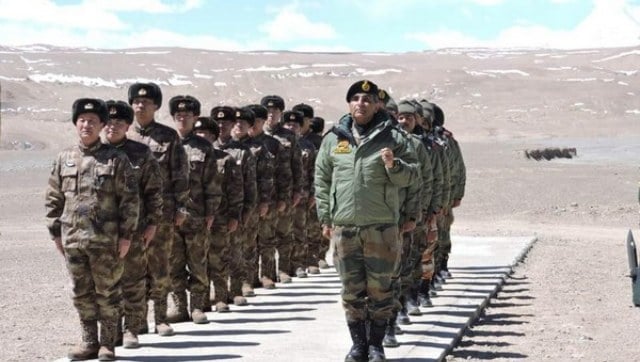 Representational image. ANI[/caption] On the other hand, the LAC came into existence after the 1962 war, and demarcates the territory which is in Indian control and that which is in Chinese control. The perceptions of the two countries about the LAC vary widely, and there is huge disagreement even on its length. While India considers the LAC to be 3,488 km long, China considers it to be only around 2,000 km. The LAC is divided into three sectors: the eastern sector which covers Arunachal Pradesh and Sikkim, the middle sector in Uttarakhand and Himachal Pradesh, and the western sector in Ladakh. Regular incursions and confrontations have taken place in some specific areas, including Asaphila, Longju, Namka Chu, Sumdorong Chu, and Yangste in Arunachal Pradesh, Barahoti in Uttarakhand, and Aksai China and Demchok in Ladakh, states an article in Economic Times. Most of the disagreements over the demarcation of the LAC have taken place in the western sector of Ladakh. On the eastern sector, the LAC is aligned with the McMahon Line and there is no major dispute on the middle sector either. Even before the 1962 war, the then Chinese prime minister Zhou Enlai had spoken about such a ’line’ to India’s then prime minister Jawaharlal Nehru. He had said that the LAC consisted of “the so-called McMahon Line in the east and the line up to which each side exercises actual control in the west". Enlai repeated the claim after the 1962 war. However, India had rejected China’s claim and Nehru had asserted, “There is no sense or meaning in the Chinese offer to withdraw 20 kilometres from what they call ‘line of actual control’. What is this ‘line of control’? Is this the line they have created by aggression since the beginning of September?” As an article in The Indian Express notes, there have been several tense standoffs after the 1962 war. These include confrontations in Sumdorong Chu valley in 1987, Depsang in 2013, Chumar in 2014 and Doka La in 2017. In the past, attempts have been made to clarify the demarcation of the LAC. According an article in The Hindu, India had proposed such an exercise a long time ago. However, due to wide differences in the perception of the two countries on the western sector of the line, the attempt could not bear fruit. China has rejected this exercise, viewing it as adding another complication to the on-going boundary negotiations, the article notes.
The perceptions of the two countries about the LAC vary widely, and there is huge disagreement even on its length.
Advertisement
End of Article

 "Charlie Kirk, shot dead in Utah, once said gun deaths are 'worth it' to save Second Amendment")
 "From governance to tourism, how Gen-Z protests have damaged Nepal")
 "Did Russia deliberately send drones into Poland’s airspace?")
 "Netanyahu ‘killed any hope’ for Israeli hostages: Qatar PM after Doha strike")


](https://images.firstpost.com/wp-content/uploads/2020/06/India-China-army-640.jpg)