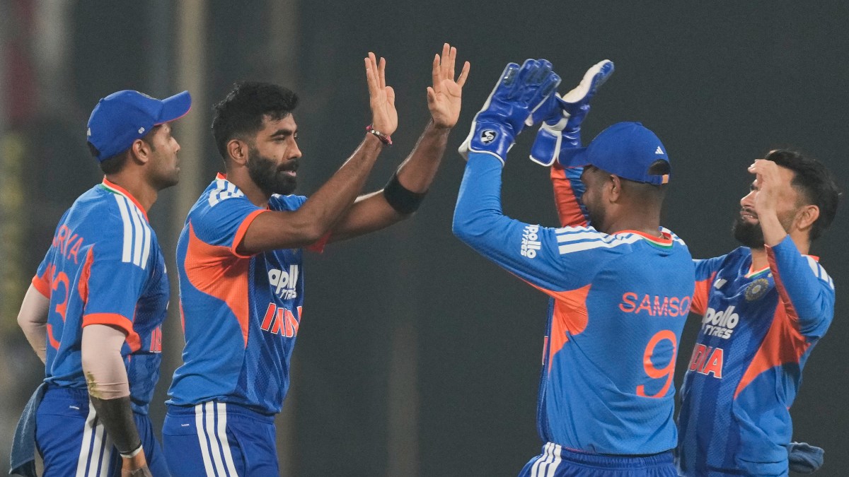
Monsoon has finally revived in India after a month long dry spell, rains are in limelight again - from G20 summit in New Delhi or India vs Pakistan Asia cup super-four match at Colombo - monsoon showers have shown up at the high profile events over this weekend.
Under the influence of the low pressure area over Western Uttar Pradesh rains picked up in Delhi NCR region from Saturday evening and accumulated 38.6 mm at Safdarjung observatory, 46 mm at Palam Airport while Lodhi Road, Ridge, Ayanagar received 38.2 mm, 39.6 mm, 57.8 mm respectively.
The temperatures at the national capital were as high as 38°C during the beginning of the week dipped by 10°C, Safdarjung observatory registered a maximum temperature of 28.3°C on Sunday which was 5°C below normal all due to the cool breeze, cloudy weather and showers across the day.
After a long gap heavy rains resumed over financial capital Mumbai and adjoining areas, on 8 September Santacruz observatory recorded 111 mm in the span of 24 hours, a century after a while as an active monsoon surge affected the region.
Seasonal total has also crossed 3000 mm mark in a few stations in the eastern suburbs of Mumbai:
Bhiwandi: 3202 mm
Ulhasnagar: 3152 mm
Mumbra: 3097 mm
Kalyan: 3054 mm
Thane: 3019 mm
Belapur: 3001 mm
Large parts of Uttar Pradesh, Madhya Pradesh, Maharashtra, Telangana, Andhra Pradesh, Odisha, Chhattisgarh, Jharkhand, West Bengal experienced good rains in the past week.
Quick Reads
View AllAs low pressure pull away all the moisture and rains from north-east India, dry weather conditions resulted in hot and humid weather across the states of north east India
Cherrapunji in Meghalaya recorded 31.6°C maximum temperature on 5th September which was 8°C above-normal and highest ever for the month of September in the record history, previous highest were 31.0°C on 9 September 2022 and 31.1°C on 6 September 1969.
Abnormally high maximum temperatures in few more stations of north-east India on 5th of September;
Siliguri: 40.1°C
North Lakhimpur: 38.4°C
Goalpara: 38.2°C
Guwahati: 38.0°C
Dibrugarh: 37.2°C
Kohima: 32.9°C
Cherrapunji: 31.6°C
Darjeeling: 26.2°C
It’s not monsoon everywhere, Autumn is showing up in the western Himalayas now as night temperatures have started dipping to single digits.
Minimum temperatures in single digits on 9 September:
Drass: 2.4°C
Hanle: 2.4°C
Nyoma: 4.9°C
Sheshnag: 5.5°C
Sonamarg: 6.9°C
Leh: 7.0°C
Gangotri: 7.0°C
Kukumsheri: 7.4°C
Pahalgam: 7.5°C
Padum: 7.5°C
Keylong: 8.1°C
Kedarnath: 8.1°C
Shopian: 8.5°C
Badrinath: 8.5°C
Kalpa: 8.6°C
Kargil: 9.2°C
Anantnag: 9.7°C
Gulmarg: 10.0°C
As on 10th September, the seasonal rainfall India wide stands at an actual of 691.2 mm against the normal of 766.6 mm, the departure from normal stands at -10 per cent compared to week on week of -11 per cent, improved by 1 per cent.
Subdivision wise seasonal rainfall in the period of 1 June till 10 September 2023:
• Southern Peninsula: Actual 545.4 mm against the average of 605.9 mm, -10 per cent departure from normal.
• East and North East India: Actual 963.3 mm against the average of 1182.4 mm, -19 per cent departure from normal.
• North West India: Actual 524.0 mm against the average of 534.2 mm, -2 per cent departure from normal.
• Central India: Actual 800.3 mm against the average of 875.8 mm, -9 per cent departure from normal.
Current synoptic weather features influencing weather in India as on 10 September 2023:
• The Monsoon Trough at mean sea level now passes through Jaisalmer, Kota, Guna, Jabalpur, Pendra Road, Chaibasa, Digha and thence east-southeastwards to northeast Bay of Bengal.
• The cyclonic circulation over northwest Madhya Pradesh and adjoining northeast Rajasthan extending up to 7.6 km above mean sea level persists.
• The trough from cyclonic circulation over northwest Madhya Pradesh and adjoining northeast Rajasthan to south Chhattisgarh across East Madhya Pradesh extending up to 4.5 km above mean sea level persists.
• The Western Disturbance as a trough in westerlies with its axis at 5.8 km above mean sea level now runs roughly along Long. 76° E to the north of Lat. 30°N.
• The cyclonic circulation over north Andaman Sea at 5.8 km above mean sea level persists.
All India weather forecast till 17 September 2023:
Current low pressure area will dissipate over western Uttar Pradesh on Monday - it will be causing heavy rains in various parts of the state till Monday and reduction will be observed thereafter.
A fresh cyclonic circulation is likely to form over northwest and adjoining west-central Bay of Bengal on 12 September 2023.
As the current weather system fades away, rains in India will take a bit of pause on Monday and Tuesday but it will resume Wednesday onwards i.e. 13 September onwards as fresh low pressure from Bay of Bengal will move inland and the axis of monsoon will be active over central parts of India.
Heavy to very heavy rains are anticipated in Odisha, Jharkhand, West Bengal, Madhya Pradesh, Telangana, and Maharashtra from 13 to 17 September.
Another week with continued downpour will boost agriculture practices and revive water bodies in the core heartland of the country.
Some states and UTs in the country would continue to stay in the radar of less rains even this week, Tamil Nadu, Kerala, Karnataka, Andhra Pradesh, Goa, Uttar Pradesh, Uttarakhand, Sikkim, Meghalaya, Mizoram, Manipur, Nagaland, Tripura, Assam, Arunachal Pradesh will experience below normal rains, any rains in these states would be light to moderate in intensity and short lived.
Deficit rains along with abnormally high daytime temperatures, are expected in Rajasthan, Gujarat, Haryana, Punjab, Himachal Pradesh, Jammu, Kashmir and Ladakh.
Drought conditions will worsen further in north west Rajasthan, west Haryana and south west Punjab this week sporadic rains won’t help cover up with the deficiency also agriculture losses incurred so far.
The writer, better known as the Rohtak Weatherman, interprets and explains complex weather patterns. His impact-based forecasts @navdeepdahiya55 are very popular in north India. Views expressed in the above piece are personal and solely that of the author. They do not necessarily reflect Firstpost_’s views._
Read all the
Latest News,
Trending News,
Cricket News,
Bollywood News,
India News and
Entertainment News here. Follow us on
Facebook,
Twitter and
Instagram.


)

)
)
)
)
)
)
)
)


