
 "What does India's new seismic map say about earthquakes risk in your city?")
India has unveiled a dramatically revised seismic zonation map as part of the new Earthquake Design Code, placing the entire Himalayan arc into a newly created highest-risk Zone VI for the first time.
The update significantly alters the country’s understanding of earthquake hazards, showing that 61 per cent of India is now classified as having moderate to high seismic risk, an assessment that will reshape how buildings, infrastructure, and expanding cities plan for the deep tectonic forces beneath some of the most densely populated parts of the subcontinent.
Vineet Gahalaut, director of the Wadia Institute of Himalayan Geology and former head of the National Centre for Seismology, told the Times of India that the updated map finally establishes consistent treatment of the Himalayan corridor, which was previously divided between Zones IV and V despite being governed by the same tectonic drivers.
He noted that older maps underestimated the danger posed by long-quiet fault sections, particularly the central Himalaya, which has not produced a major surface rupture in nearly 200 years.
How is the new map different?
Experts consider this revision one of the most consequential updates to India’s seismic risk framework in decades. The changes reclassify the outer Himalaya as a region where future ruptures are expected to propagate southward until meeting the Himalayan Frontal Thrust, beginning near Mohand in the Dehradun sector, a modification that senior scientists told TOI finally aligns hazard levels with geological reality rather than administrative borders.
The Bureau of Indian Standards (BIS), which released the updated zonation under the revised Earthquake Design Code, explained that the mapping is based on globally recognised probabilistic seismic hazard assessment (PSHA) techniques. These methods account for active fault characteristics, maximum potential earthquake magnitudes, how shaking decreases with distance, tectonic regimes, and subsurface geology.
Quick Reads
View AllThis replaces the older system, which leaned heavily on past earthquake epicentres, broad geological traits and soil categories, and historical damage surveys—an approach that sometimes led to hazard adjustments near industrial hubs or major cities without sufficiently considering the seismic capacity of individual faults.
BIS said the updated zonation offers a clearer picture of the peak ground accelerations that future earthquakes may generate, urging engineers and planners to adopt the 2025 map rather than the 2016 version to ensure construction reflects current hazard levels. This shift is especially important given that nearly 75 per cent of India’s population now lives in seismically active regions, and the proportion of land in moderate to high hazard zones has risen from 59 per cent to 61 per cent.
How will it help?
The new code brings major upgrades to safety requirements for both structural and non-structural components, with the latter receiving serious attention for the first time. Elements such as ceilings, parapets, overhead tanks, façade panels, lifts, electrical lines, and suspended fixtures often fail even when the main structure remains intact.
Under the revised rules, all heavy non-structural components exceeding 1 per cent of a building’s total weight must be properly anchored and braced to reduce internal collapses and limit injuries during moderate earthquakes, an improvement engineers say will prevent many avoidable casualties.
Critical infrastructure, including hospitals, schools, pipelines, bridges, and key public buildings, must now be designed to remain operational after a major earthquake so they can support disaster response. Engineers say this aligns India with international best practices that prioritise resilience of essential services, not just the survival of the physical structure.
While the Himalayan region underwent sweeping reclassification under the revised map, the southern peninsula saw only minor scientific refinements. Its overall hazard assessment remains largely unchanged due to the comparatively stable tectonic conditions in the south.

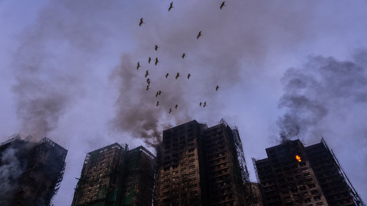 "Hong Kong fire toll rises to 128: The unanswered questions about deadliest blaze in 70 years")
 "Is Imran Khan dead? Why his family is demanding ‘proof of life’")
 "Putin to visit India on December 4–5 for 23rd annual summit, confirms MEA")
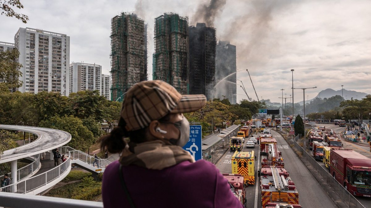
 "Hong Kong fire: Probe tightens after deadly housing blaze; contractors among those held")
 "Hong Kong fire toll rises to 128: The unanswered questions about deadliest blaze in 70 years")
 "Is Imran Khan dead? Why his family is demanding ‘proof of life’")
 "Putin to visit India on December 4–5 for 23rd annual summit, confirms MEA")
 "Hong Kong fire: Probe tightens after deadly housing blaze; contractors among those held")


