
 "Teradata, ESRI Join Hands To Extend BI Offerings")
Teradata and ESRI have partnered to integrate business and geospatial data in a single database, perform advanced analytics and deliver geospatial intelligence to business users to improve decision-making.
“The unique combination of geospatial power from ESRI and Teradata database engine offers customers a new, advanced ability to solve business problems,” said Randy Lea, Vice President, Teradata Product and Service Marketing. “The new partnership makes it possible for customers to gain a business advantage by maximising how they leverage geospatial and business information.”
Teradata supports various geospatial types of data like points on a map, lines, and polygons. It can perform over 60 geospatial analytic functions within its scaleable, high performance database. It is enhanced by the ESRI spatial data creation, visualisation, advanced analytics, and spatial collaboration tools to provide Teradata customers with unprecedented capabilities to exploit the spatial data within their data warehouse.
“ESRI fills a critical role in the Teradata ecosystem in terms of spatial ETL, spatial content, advanced spatial analysis and, of course, visualisation, mapping and spatial collaboration,” said Steve Benner, Alliance Manager, ESRI. “Our new relationship helps customers bridge the gap between the data warehouse and their Geographic Information System a common customer request to get more value from their investments in both systems.”
 "Israel targets top Hamas leaders in Doha; Qatar, Iran condemn strike as violation of sovereignty")
 "Nepal: Oli to continue until new PM is sworn in, nation on edge as all branches of govt torched")
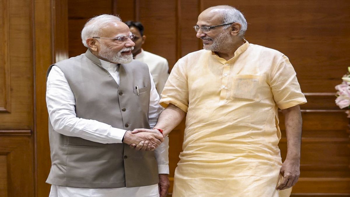
 "Who is CP Radhakrishnan, India's next vice-president?")
 "Israel informed US ahead of strikes on Hamas leaders in Doha, says White House")
 "Israel targets top Hamas leaders in Doha; Qatar, Iran condemn strike as violation of sovereignty")
 "Nepal: Oli to continue until new PM is sworn in, nation on edge as all branches of govt torched")
 "Who is CP Radhakrishnan, India's next vice-president?")
 "Israel informed US ahead of strikes on Hamas leaders in Doha, says White House")


