
 "DSSDI Project Launched In Delhi, India")
Survey of India, the National Mapping Agency and Government of Delhi have joined hands to launch the Delhi State Spatial Data Infrastructure (DSSDI) project. The project is an outcome of a pilot project by Department of Science and Technology, Government of India on 3D GIS in Chandani Chowk area.
Government of Delhi felt that the 3D database is immensely useful for various applications and it should immediately be created for entire NCT of Delhi and should be completed well before Common Wealth games-2010.
Development of a 3D-GIS database for NCT of Delhi will be carried out by Survey of India in respect of all lands and buildings and all under ground utilities within the NCTD. The project will facilitate detection of illegal constructions by the Government of Delhi and enable monitoring of any changes being made in respect of land and building in GNCTD on real time basis.
The project comprises two major components, Land Information System (LIS) of NCT of Delhi and Urban Spatial Information System (USIS). The LIS will have up to date cadastral information. The USIS will meet the spatial data/information requirements of urban planning for routine functions of the line departments of Delhi. The technologies developed for the project will be used for disaster management, traffic management, security of important building and other valuable infrastructural assets in Delhi.
 "Israel targets top Hamas leaders in Doha; Qatar, Iran condemn strike as violation of sovereignty")
 "Nepal: Oli to continue until new PM is sworn in, nation on edge as all branches of govt torched")
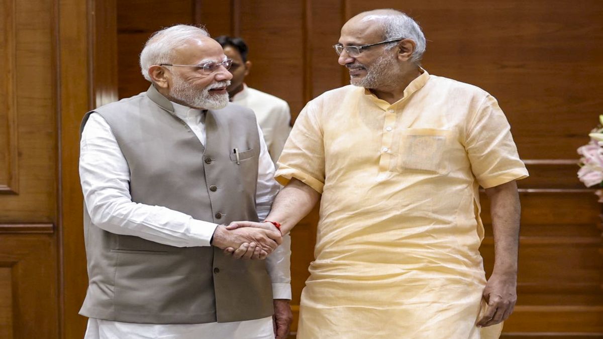
 "Who is CP Radhakrishnan, India's next vice-president?")
 "Israel informed US ahead of strikes on Hamas leaders in Doha, says White House")
 "Israel targets top Hamas leaders in Doha; Qatar, Iran condemn strike as violation of sovereignty")
 "Nepal: Oli to continue until new PM is sworn in, nation on edge as all branches of govt torched")
 "Who is CP Radhakrishnan, India's next vice-president?")
 "Israel informed US ahead of strikes on Hamas leaders in Doha, says White House")


