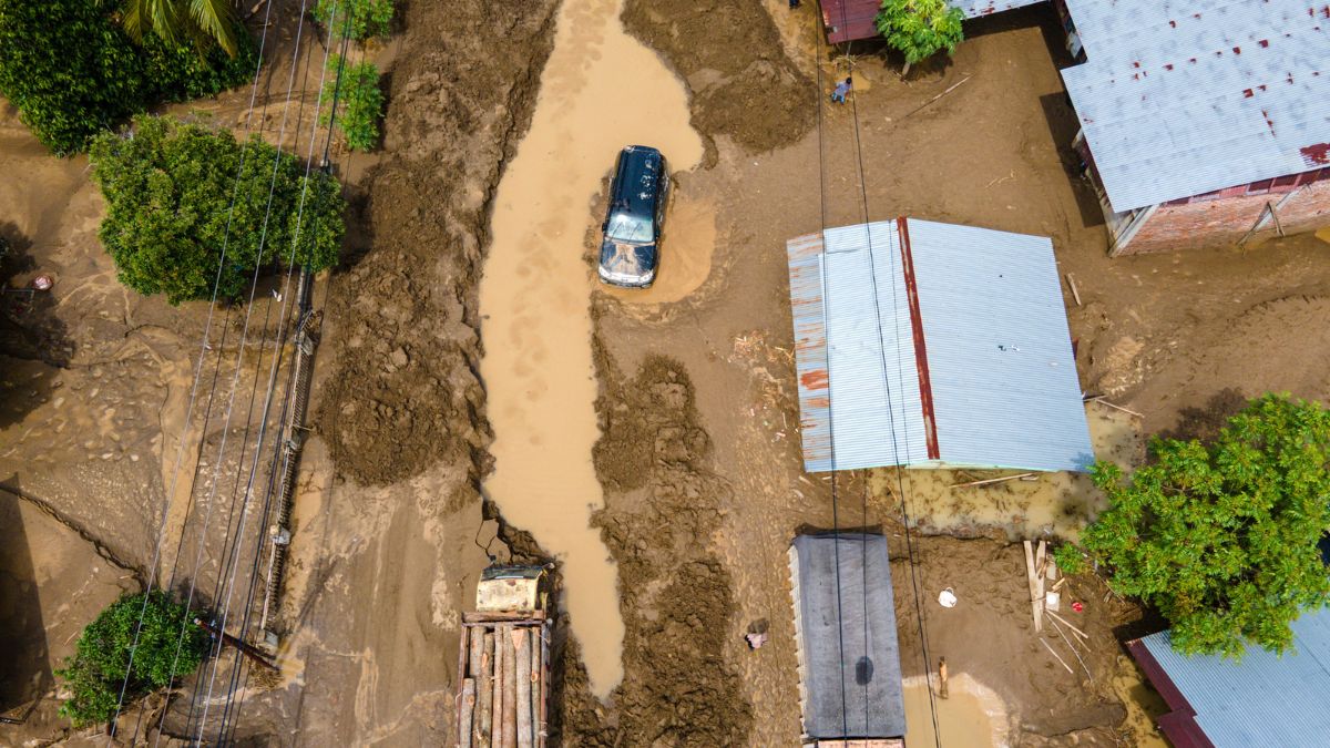
 "This aerial picture shows a truck and a car trapped in muds from flash floods on a main road connecting Aceh and North Sumatra in Meureudu, Pidie Jaya district Indonesia's Aceh province on November 28, 2025. Image- AFP")
The deadly floods that swept across parts of Indonesia this month were intensified by years of deforestation that stripped away natural protections.
Environmental researchers told AFP that upstream forest loss dramatically increased runoff during intense rainfall. David Gaveau, founder of The TreeMap, a geospatial company safeguarding tropical forests through scientific investigations, said forests normally act as a buffer during storms.
“Forests upstream act as protective barrier, a bit like a sponge,” he told AFP. “The canopy captures some of the rain before it reaches the ground. The roots also help stabilise the soil. When the forest is cleared upstream, rainwater runs off rapidly into rivers creating flash floods,” he added.
Indonesia lost more than 240,000 hectares of primary rainforest in 2024 alone, as part of a decades-long pattern of land clearing for plantations, mining, fires, and logging.
As water levels began to recede, huge piles of timber washed ashore—evidence of the degraded slopes swept away by the floods.
President Prabowo Subianto acknowledged the scale of the problem. “We must truly prevent deforestation and forest destruction. Protecting our forests is crucial,” he said.
The Ministry of Environment and Forestry has opened investigations into suspected illegal logging in the worst-hit areas. Minister Raja Juli Antoni described the disaster as “a chance to evaluate our policies,” adding that “The pendulum between the economy and ecology seems to have swung too far towards the economy and needs to be pulled back to the centre.”
Environmental activists cited by AFP pointed to major land-use projects in Batang Toru, where at least seven companies operate upstream in areas cleared for mining, hydropower and plantations. One warned that such clearing is “increasing our vulnerability.”
Quick Reads
View AllThey said restoration of degraded land is critical, warning that erosion is raising riverbeds and diminishing river capacity, worsening the impact of extreme rainfall.