
 "Emergency responders can benefit from access to real-time satellites' data from during emergencies")
Emergency responders could cut costs and save time by using near-real-time satellite data along with other decision-making tools after a flooding disaster, according to a study by NASA. The study, published in the journal
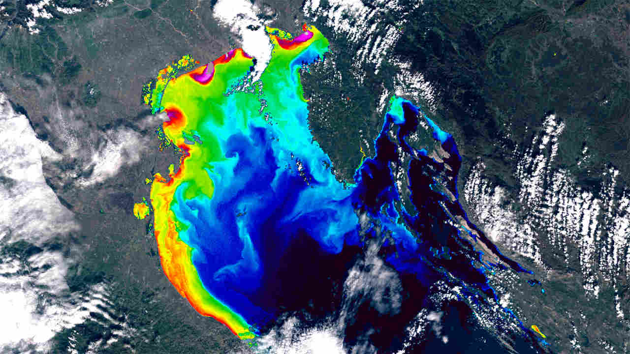
Frontiers in Environmental Science, estimated the value of using satellite data in disaster scenarios. The researchers from NASA’s Goddard Space Flight Center calculated the time that could have been saved if ambulance drivers and other emergency responders had near-real-time information about flooded roads, using the 2011 Southeast Asian floods as a case study. They investigated the value of near-real-time information on flooded roadways by estimating how much time could have been saved if first responders had satellite-based maps that showed roads inundated with flood. [caption id=“attachment_7696671” align=“alignnone” width=“1280”] During emergencies like floods, emergency responders can use real-time satellite data to help in rescue situations. Image credit: Wikipedia[/caption] The researchers calculated how access to this data could have helped in the aftermath of the 2011 flooding of Southeast Asia’s Mekong River basin which inundated and destroyed millions of acres of crops, displacing millions of people, and killing hundreds. In earlier studies, researchers had developed an algorithm to estimate the depth of floodwater from space-based observations, and combined this data with information on local infrastructure, population, and land cover. Using the algorithm, they could calculate the disaster risk for the Mekong river basin region in Bangkok, Thailand. In the current study, the researchers estimated the depth of floodwater using data from NASA’s Moderate Resolution Imaging Spectroradiometer (MODIS), and land cover from the NASA-USGS Landsat satellites. They also used data from NASA’s Socioeconomic Data and Applications Center (SEDAC) and OpenStreetMap — an open-access geographic data source — to gauge a region’s infrastructure, road and population. “We chose data that represented what we would know within a couple hours of the event,” said Perry Oddo, an associate scientist at Goddard. [caption id=“attachment_7696681” align=“alignnone” width=“1280”]
 Satellite images of the flooding in Italy. Image credit: Earth observation and environmental science[/caption] Using the data, the researchers charted the most direct routes between emergency dispatch sites and areas in need, without flooding information. Then they generated new routes avoiding the most highly flooded areas by adding near-real-time flooding information. The study noted that the direct routes contained nearly 16 kilometres of flooded roadways in their recommendations. However, the routes incorporating flood information were longer but avoided all highly flooded areas. These routes, the researchers said, contained just about eight kilometres of affected roadways. According to the researchers, these new routes were about nine minutes faster than their flooded counterparts on average. If these routes had been taken instead, the researchers said the region may have averted loss by millions of dollars. According to a previous study in Southeast Asia, they said, reducing emergency vehicles’ response time by just one minute per trip over the course of a year may save up to USD 50 million.
Access to the data could’ve helped in the aftermath of the 2011 floods which destroyed crops and killed hundreds.
Advertisement
End of Article
 "Israel targets top Hamas leaders in Doha; Qatar, Iran condemn strike as violation of sovereignty")
 "Nepal: Oli to continue until new PM is sworn in, nation on edge as all branches of govt torched")
 "Who is CP Radhakrishnan, India's next vice-president?")
 "Israel informed US ahead of strikes on Hamas leaders in Doha, says White House")


