
 "Weather report: Temperature to exceed 40°C by March-end; sporadic rains expected in Punjab, North East")
North and east India is experiencing back-to-back western disturbance this spring season. A westerly trough and jet streams dipped extreme south during the previous system that affected the entire east and north-east India. Its impact started from March 19 to March 22 in the western Himalayas, resulting in light to moderate rainfall and snowfall over the hills. However, the plains of north India saw negligible rains during this period.
Himachal Pradesh precipitation in the span of 24 hours until 8:30 am on March 22:
Snowfall
Gondhla: 6.0 cm
Hansa: 5.0 cm
Keylong: 3.0 cm
Rainfall
Kataula: 22.5 mm
Mandi: 19.4 mm
Gohar: 15.0 mm
Banjar: 12.4 mm
Pandoh: 10.0 mm
Jogindernagar: 7.0 mm
Dharamshala: 5.8 mm
Baggi: 4.6 mm
Palampur: 3.4 mm
Manali: 3.0 mm
Kalpa: 1.2 mm
Moving east, it intensified into a severe western disturbance by March 20th and brought intense nor westers embedded with thunderstorms, heavy rains, hail storms, and strong gusts and impacted large parts of Jharkhand, Bihar, West Bengal, Odisha, Chhattisgarh, and Vidarbha regions along with north-east states from March 20th to March 23rd.
Unusually strong systems lead to a record-breaking drop in temperatures across east India.
Bhubaneswar in Odisha recorded a maximum temperature of 19.2°C on March 20, which is a whopping 17°C below normal. Bhubaneswar saw its lowest maximum temperature since 1950; the previous record was 24.3°C on March 6, 1970.
Impact Shorts
More ShortsMaximum Temperature on March 20, at some other stations:
Darjeeling: 9.4°c
Gangtok 11.5°c
Shillong 12.7°c
Guwahati 20.8°c
Purnea 20.7°c
Kolkata 21.1°c
Patna 21.3°c
Darjeeling in West Bengal recorded 117.4mm of rainfall in the span of 48 hours ending at 8:30 a.m. on March 22.
As the weather system moved away, minimum temperatures reported a fall in Bihar, West Bengal, and the states of the north-east on March 22.
Tawang 0.3°c
Bomdila 3.8°c
Darjeeling 5.6°c
Gangtok 6.9°c
Shillong 8.0°c
Kohima 8.2°c
Imphal 11.9°c
Purulia 13.1°c
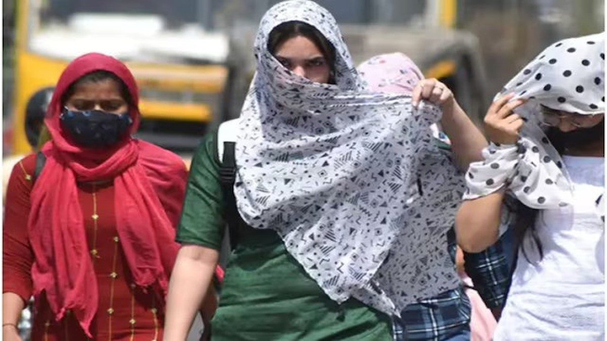
While it has rained in east India and temperatures were below normal, the remaining parts of India are experiencing summer weather, especially in south and west India, where temperatures have started to reach close to 40°C.
Over the past weekend, spring bid adieu to north-west India as temperatures saw a significant rise to 35°C in parts of Delhi NCR, Haryana, Uttar Pradesh, and up to 38°C in south and west Rajasthan.
Let’s take a look at the seasonal rainfall in India, categorised in the pre-monsoon season until March 25. The actual rainfall in India so far in the period from March 1st to March 25 stands at 22.5 mm against the normal of 24.0 mm; the departure from normal currently stands at -6 per cent.
Subdivision-wise pre-monsoon seasonal rainfall during March 1st–25th, 2024:
• Southern Peninsula: Actual 2.8mm against the average of 12.9 mm, -78 per cent departure from normal.
• East & North East India: Actual 38.8 mm against the average of 42.7 mm, -9 per cent departure from normal.
• North West India: Actual 35.1 mm against the average of 40.7 mm, -14 per cent departure from normal.
• Central India: Actual 14.8 mm against the average of 6.6 mm, +125 per cent departure from normal.
Current synoptic weather features influencing weather in India as of March 25, 2024:
Western disturbance is a trough in mid- and upper tropospheric westerlies with its axis at 5.8 km above mean sea level roughly along Long. 45°E to the north of Lat. 25°N.
A cyclonic circulation over northeast Assam and the neighbourhood at 1.5 km above mean sea level persists.
A cyclonic circulation over northeast Bangladesh and the surrounding neighbourhood, extending up to 0.9 km above mean sea level, persists.
A trough from northeast Madhya Pradesh to southeast Assam across Chhattisgarh, Jharkhand, and Gangetic West Bengal at 0.9 km above mean sea level persists.
A trough/wind discontinuity from south interior Karnataka to Vidarbha across north interior Karnataka, extending up to 1.5 km above mean sea level, persists.
A trough in westerlies at 3.1 km above mean sea level roughly along Long. 93°E to the north of Lat. 23°N persists.
A fresh western disturbance is likely to affect the western Himalayan region on March 29, 2024.
All India weather forecast till March 31, 2024:
Temperature to soar and cross the 40°C mark
Dry weather conditions will prevail in south, west, and central India in the upcoming week until March 31. In the absence of any pre-monsoon rains, both minimum and maximum temperatures are expected to increase by 2–3 °C from current levels. Widespread areas in Rajasthan, Madhya Pradesh, Gujarat, Maharashtra, Karnataka, Chhattisgarh, Andhra Pradesh, Telangana, and Tamil Nadu will experience daytime temperatures in the range of 38 to 42°C. Isolated pockets in Gujarat and Madhya Pradesh might foresee heatwave conditions as temperatures are likely to be 4 to 5°C above normal for this time of the year for these regions.
From March 26 to March 30, many parts of Delhi NCR, Haryana, Uttar Pradesh, Punjab, and Bihar may experience maximum temperatures of up to 38°C, leading to warm weather conditions after a prolonged spell of pleasant weather in these states in the last 45 days.
This week will come back with relatively dry weather conditions for east India, especially from March 27 to 31. As a result, temperatures are likely to increase in Jharkhand, West Bengal, and Odisha up to 40°C during the daytime peak, and the minimum temperature will also observe a gradual increase of 4 to 5°C.
The pre-monsoon rains are starting in northeast India. Similarly, we can expect light to moderate rains over various parts of Meghalaya, Mizoram, Manipur, Nagaland, Assam, Tripura, and Arunachal Pradesh during the evening to late-night hours daily this week. The spell of rain will be mostly scattered in nature.
More snowfall for the hills this week
The series of western disturbances will continue to influence the western Himalayas in the upcoming week. A feeble disturbance will hit Kashmir on March 27, followed by a moderate system on March 29.
It will bring more fresh spring snowfall over the upper reaches of Kashmir, Ladakh, and Himachal during the entire week. Lower hilly ranges will experience light to moderate rains, thundershowers, and isolated hailstorms.
Cloudy weather and light rains can be expected at isolated places in Punjab and Chandigarh on March 29 and 30. After a sharp rise in temperature this midweek, a dramatic fall is forecasted for month-end.
The writer, better known as the Rohtak Weatherman, interprets and explains complex weather patterns. His impact-based forecasts @navdeepdahiya55 are very popular in north India. Views expressed in the above piece are personal and solely those of the author. They do not necessarily reflect Firstpost’s views.

 "Russian drones over Poland: Trump’s tepid reaction a wake-up call for Nato?")
 "As Russia pushes east, Ukraine faces mounting pressure to defend its heartland")
 "Why Mossad was not on board with Israel’s strike on Hamas in Qatar")
 "Turkey: Erdogan's police arrest opposition mayor Hasan Mutlu, dozens officials in corruption probe")


