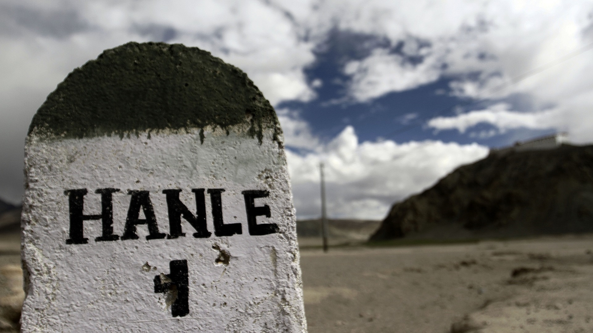
Hanle, in Ladakh, is possibly one of the world’s most enchanting, serene and breath-taking places. It is home to a lovely monastery, offering some great aerial views of the entire village, with a population of over 1,000. Hanle also houses the Indian Astronomical Observatory — the highest observatory in the world — at a staggering height of 4,500 metres. The Hanle observatory is operated by the Indian Institute of Astrophysics, Bengaluru, and is currently the second-highest optical observatory globally, with an installed telescope of about 2.01 metres (6.5 feet) diameter. On the way to Hanle from Leh, it seems like you’re on a different planet altogether. Its horrifying beauty — so eerily calm — imparts the feeling of being lost in an alien land. There is some wildlife to spot along the way: mostly wild asses, golden ducks, rabbits, jackals. You can also see a few nomads along the roadside, in their makeshift tents and surrounded by their cattle and dogs.
Journeying to the world's highest observatory
Javeed Shah
• July 23, 2017, 21:27:56 IST
On the road to the Indian Astronomical Observatory at Hanle, Ladakh. A photo essay
Advertisement
 "Journeying to the world's highest observatory")
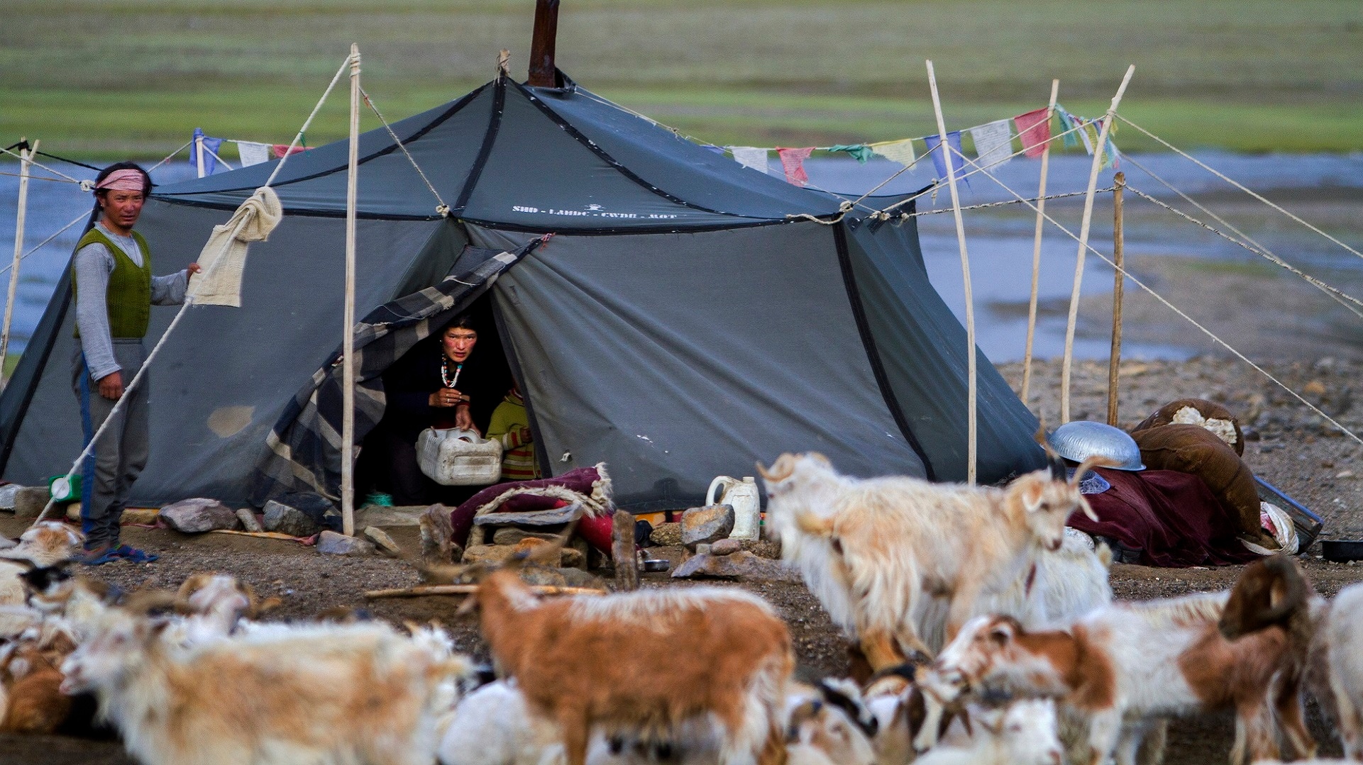
Hanle village now has few guest houses, apart from the official guest house of the Indian Astronomical Observatory. The sky seems close, crystal blue, filled with stars in the evenings/nights. Although people generally expect to see a large telescope (to view the stars), the observatory is equipped with big camera system through which astronomical readings are taken and sent to the Bengaluru headquarters, an engineer at the facility told me. The computer-controlled opening of the observatory’s dome seems like something out of a Hollywood science fiction movie! Hanle is among the highest altitude villages of Ladakh (at around 4,300 metres) and is situated about 275 km from the town of Leh. Just before you enter Hanle, there is a smaller village called Nyoma. Here too, the landscape is breathtakingly lovely, and the soil has a red hue. On the road to Hanle, you’ll also pass military camps. These are well-maintained, well organised and quite lavishly decorated. And as you zoom by, you’ll find personnel from the Indo-Tibetan Border Police, jogging along. It makes for a surreal, but oddly fitting sight, on the lonely road. A photo-essay on the journey to (what seems like) the top of the world: (All photos by Javeed Shah) On a pleasant early morning, a shepherd family can be seen camped near Hanle village . [imgcenter]
[/imgcenter] The Leh-Hanle road that goes along the Indus River at some places. [imgcenter]
[/imgcenter] Colorful patches at Upshi village, on the way to Handle. [imgcenter]
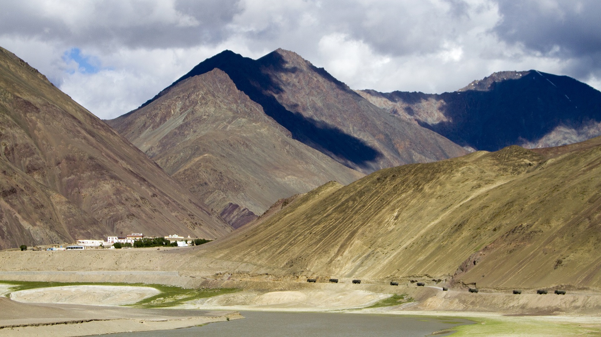
[/imgcenter] The landscape of Hanle Village, including a part of the observatory on the left. [imgcenter]
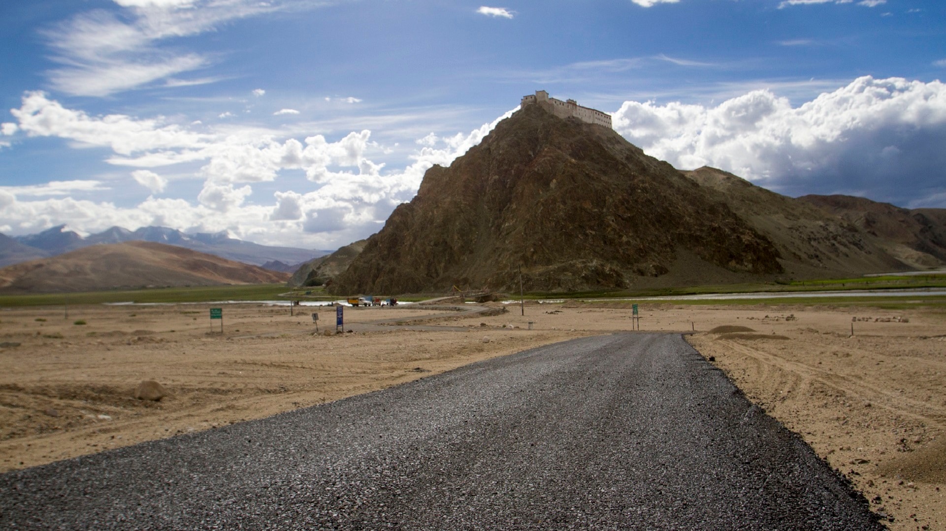
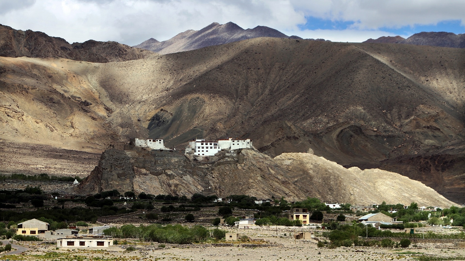
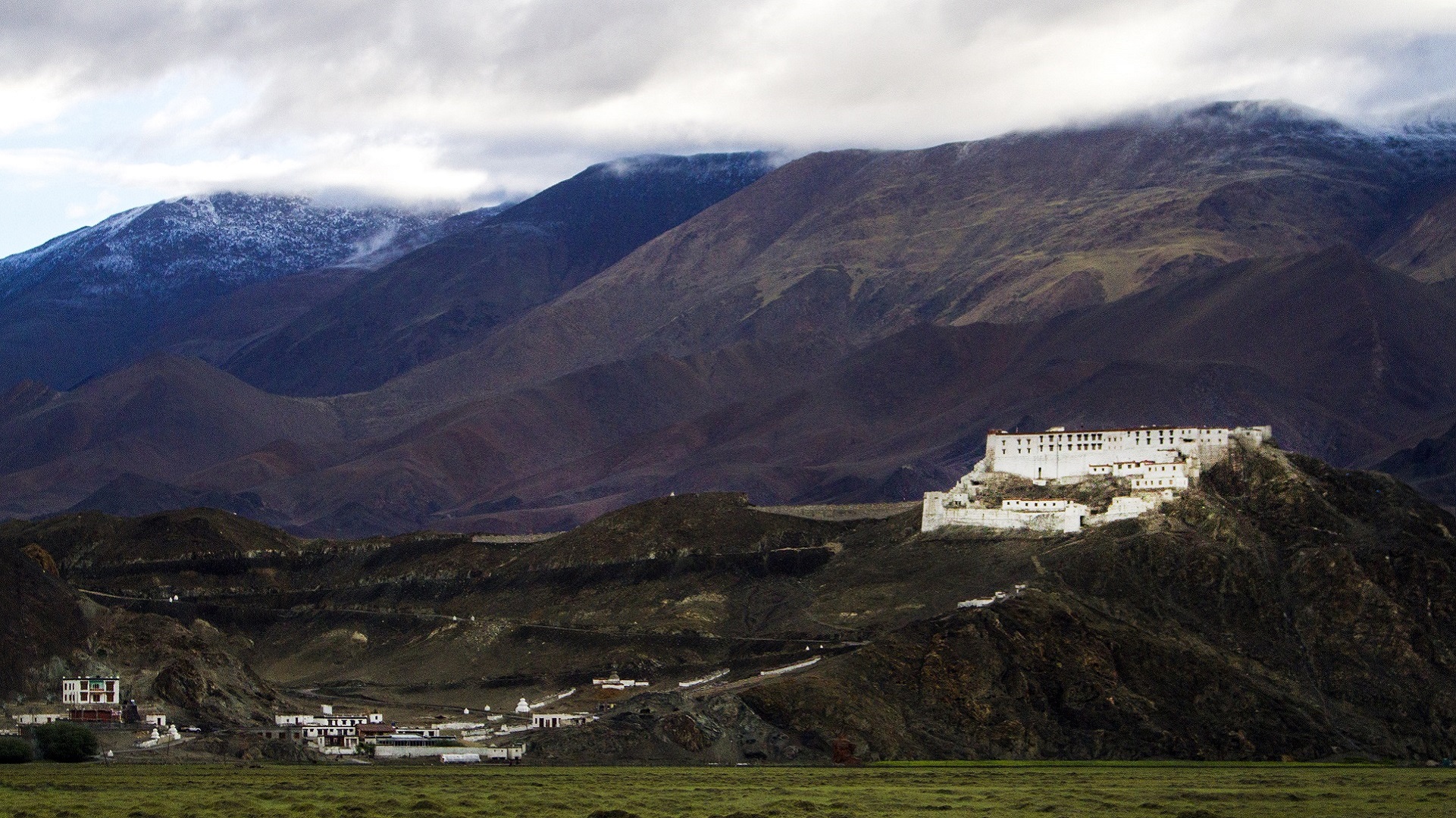
[/imgcenter] The Hanle Monastery is located just along the road side. It is only 19 km from the disputed frontier between India and Chinese-controlled Tibet. [imgcenter]
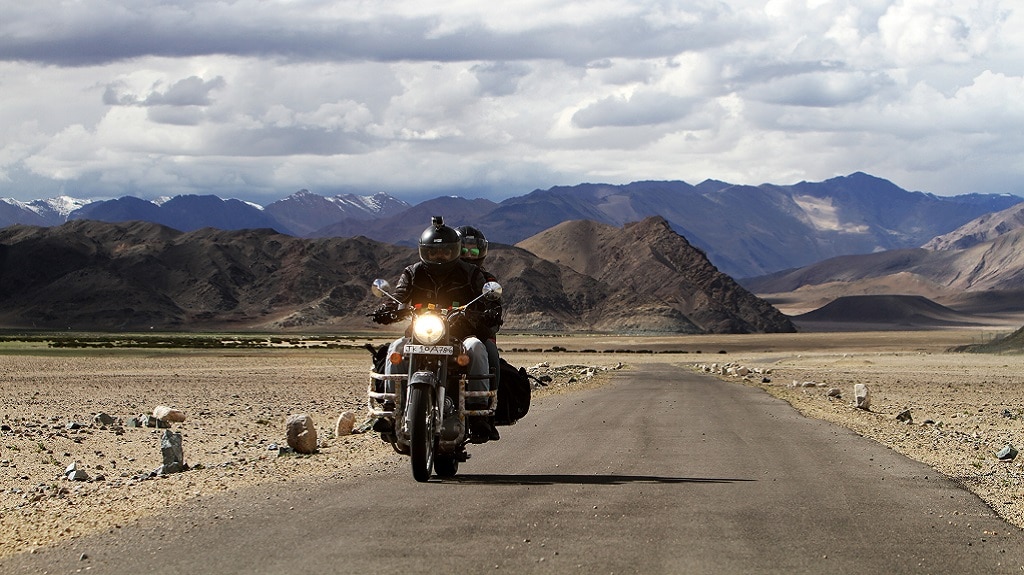
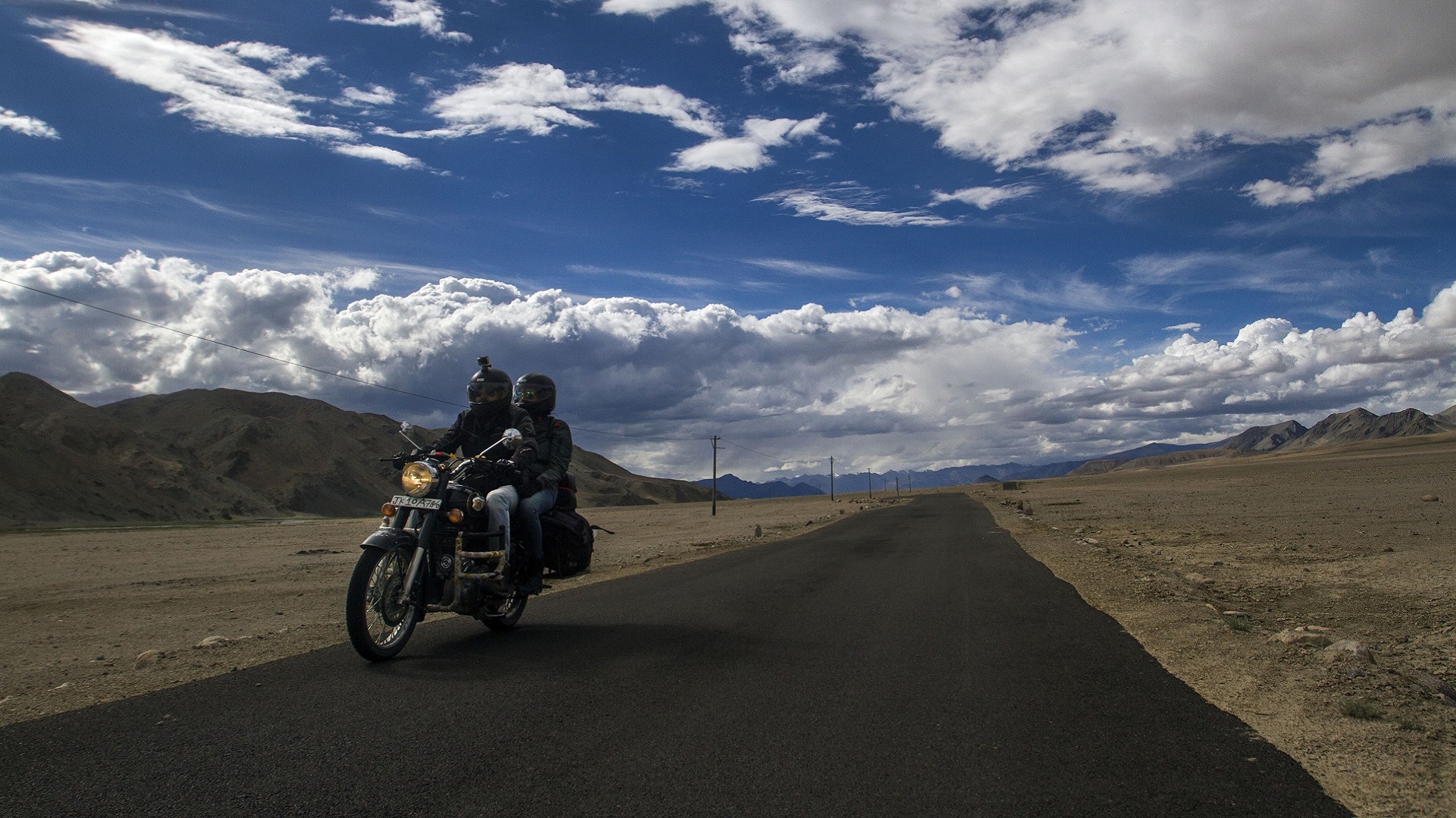
[/imgcenter] A couple on their motorcycle near Hanle Monastery, visiting Hanle village. [imgcenter]
[/imgcenter] View of the Hanle Monastery. [imgcenter]
[/imgcenter] A small bridge at the entry to Hanle Village. [imgcenter]
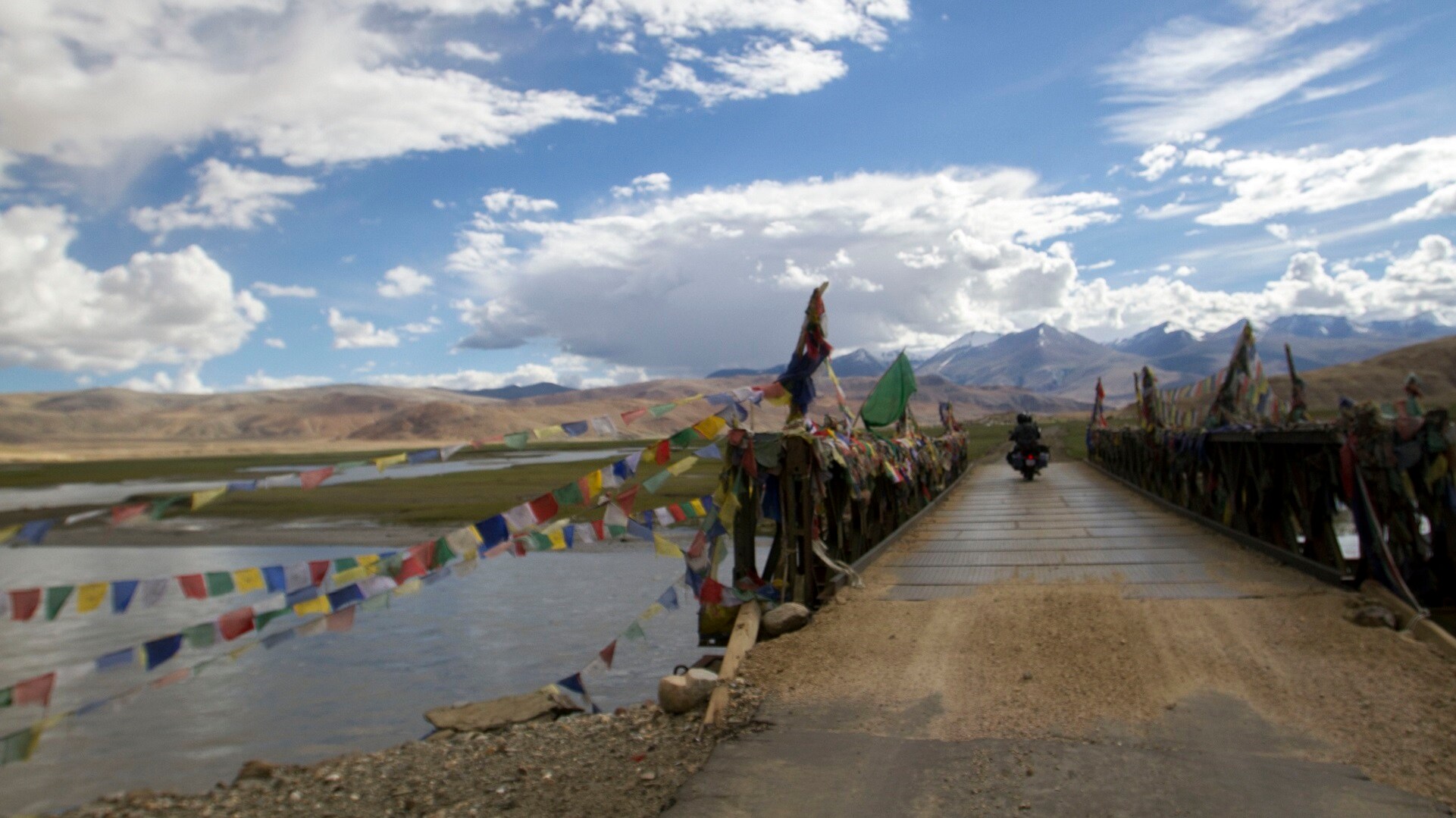
[/imgcenter] The Indian Astronomical Observatory at Hanle. [imgcenter]
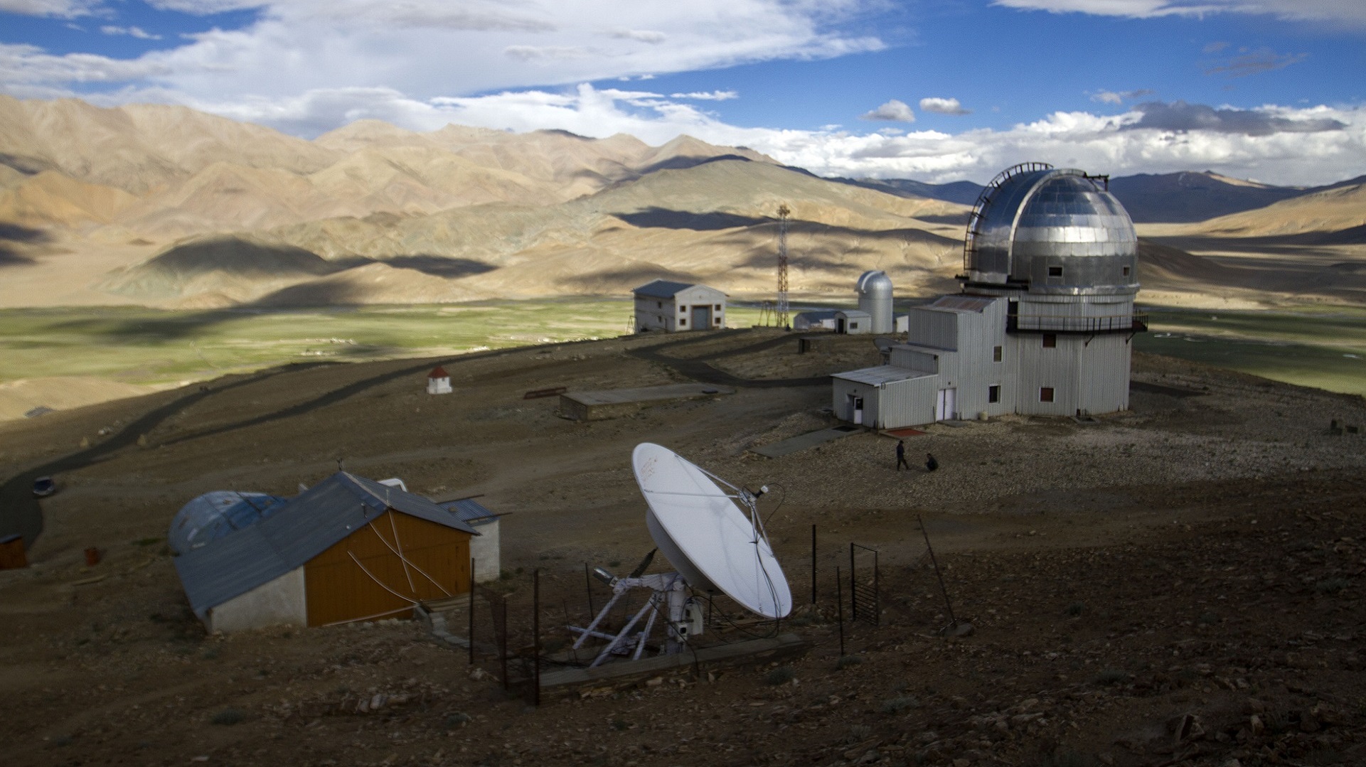
[/imgcenter] Indian Astronomical Observatory at Hanle. [imgcenter]
[/imgcenter] Road to Indian Astronomical Observatory at Hanle. [imgcenter]
[/imgcenter] Indian Astronomical Observatory at Hanle. [imgcenter]
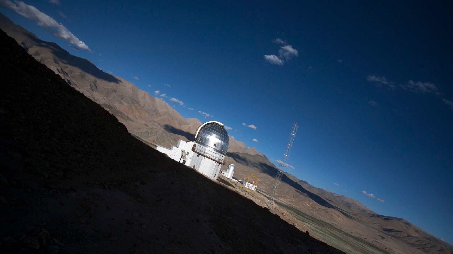
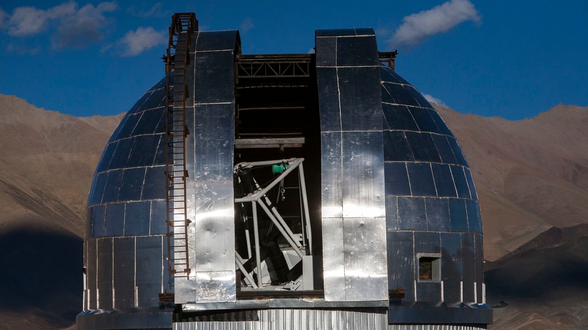
[/imgcenter] The main dome of the Indian Astronomical Observatory at Hanle. [imgcenter]
[/imgcenter] Road to the Indian Astronomical Observatory at Hanle. [imgcenter]
[/imgcenter] Part of the Indian Astronomical Observatory at Hanle. [imgcenter]
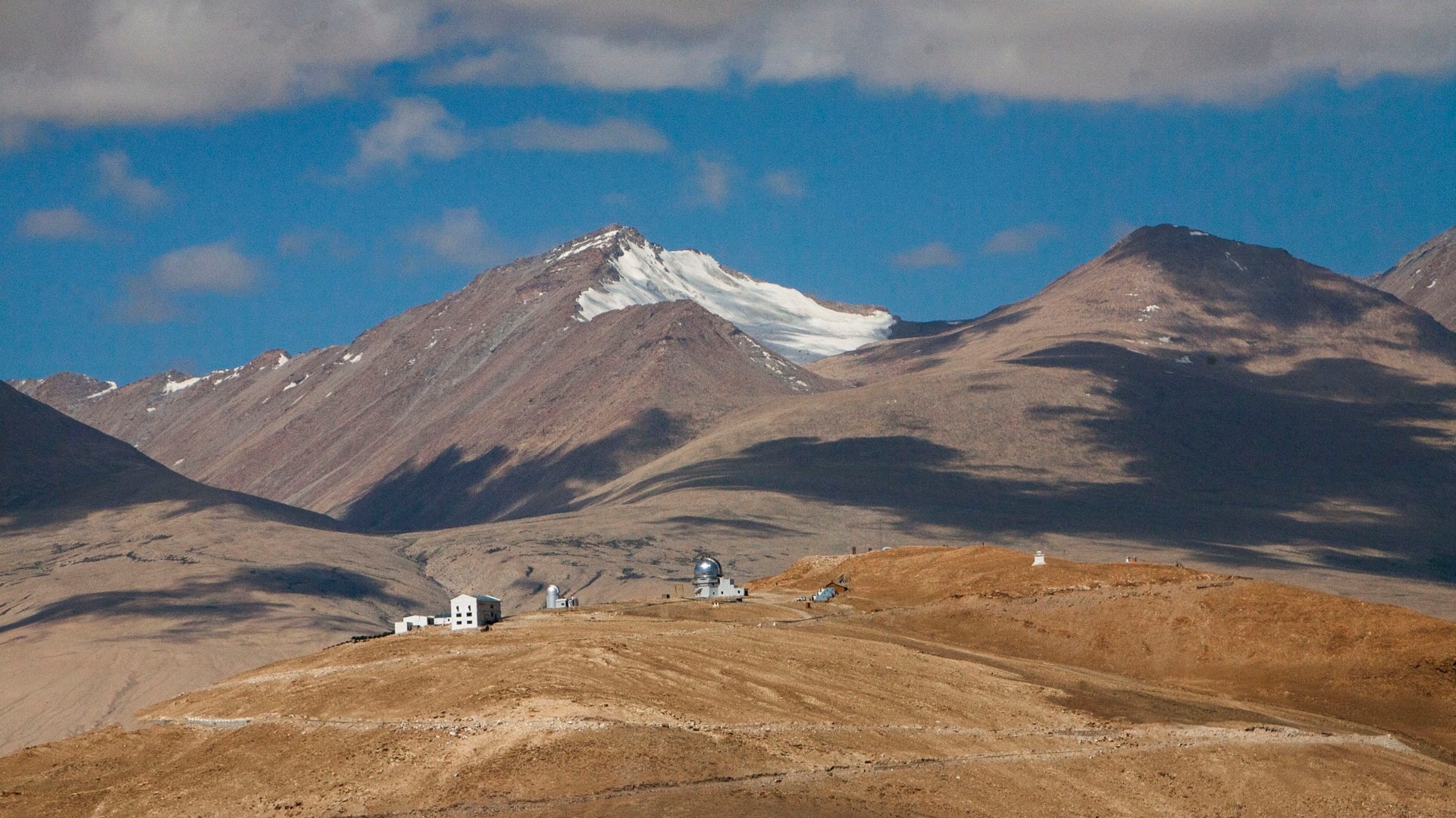
[/imgcenter] Indian Astronomical Observatory at Hanle, seen from a distance. [imgcenter]
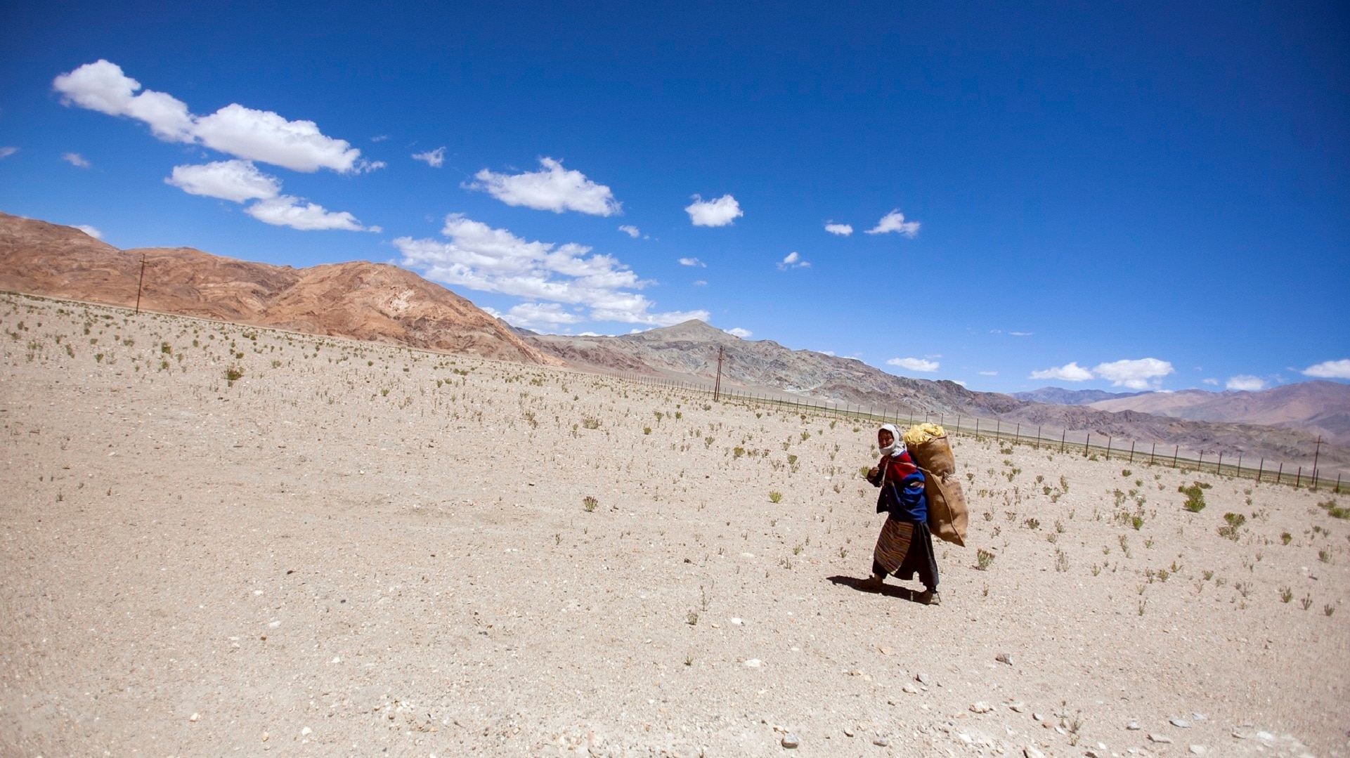
[/imgcenter] A Ladakhi woman carrying fuel at Hanle. [imgcenter]
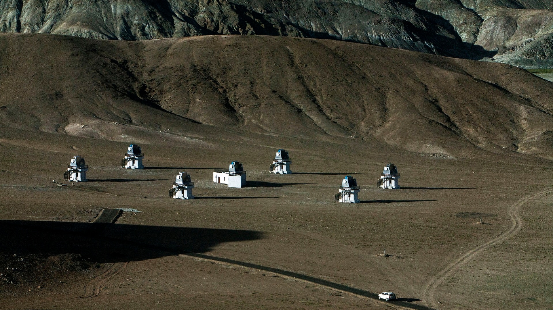
[/imgcenter] HAGAR units at Hanle observatory: HAGAR is an Atmospheric Cerenkov experiment with seven telescopes, each with seven mirrors of a total area of 4.4 sq mtrs. The total light gathering area of seven telescopes is thus 31 sq mtrs. The telescopes are deployed on the periphery of a circle of radius 50 meters with one telescope at the center. Each telescope has an alt-azimuth mounting. Each of the seven mirrors in each telescope is looked at by a UV sensitive PhotoMultiplier Tube. All seven units are installed, and calibration tests are underway. [imgcenter]
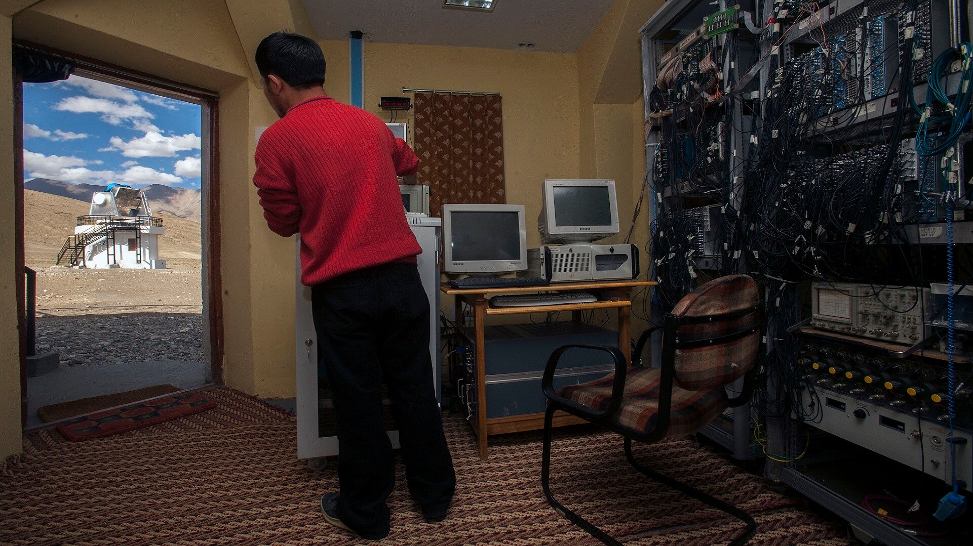
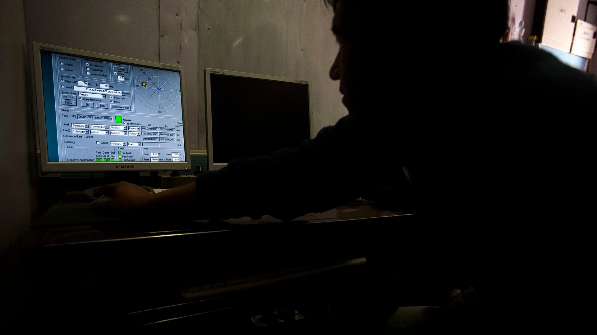
[/imgcenter] An engineer controlling the equipment from inside a small room. [imgcenter]
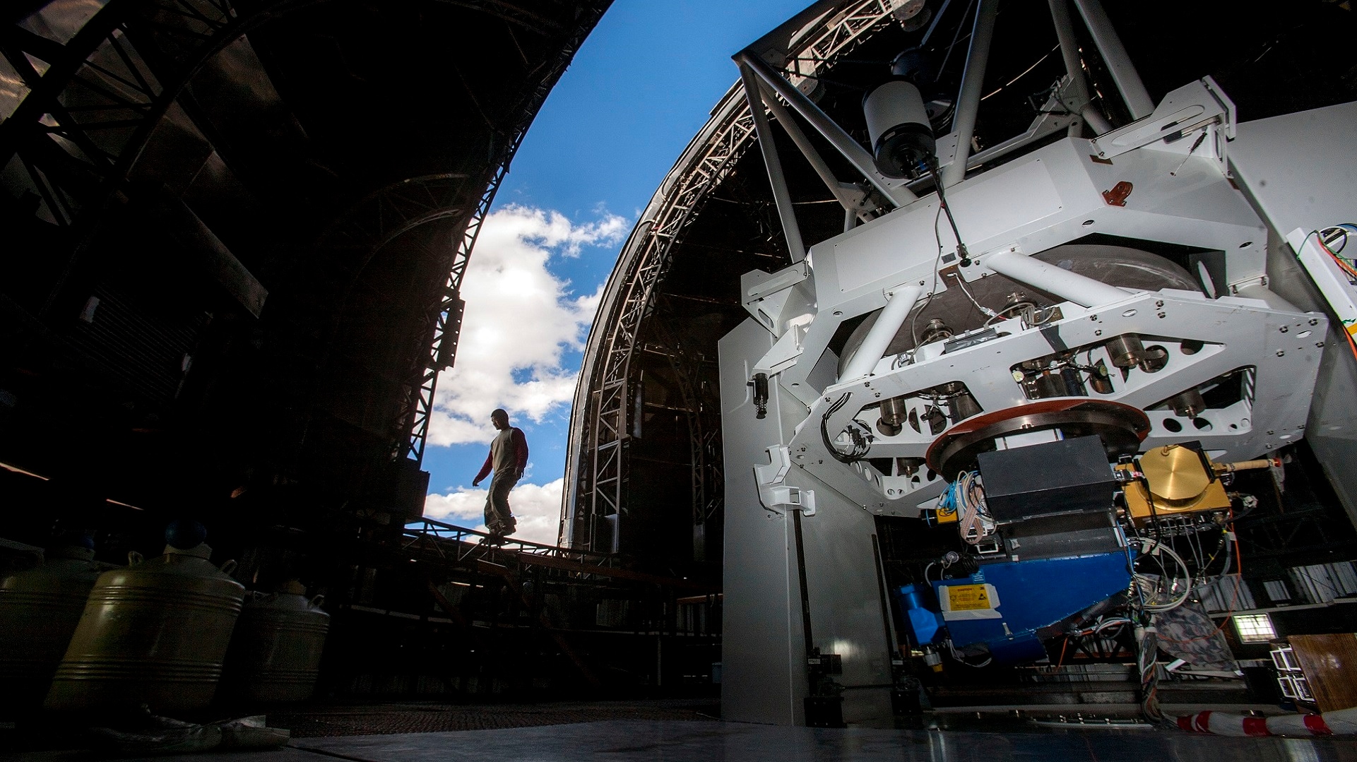
[/imgcenter] The opening of main dome of the Indian Astronomical Observatory, from the inside. [imgcenter]
[/imgcenter] Maintaining log records inside the observatory. [imgcenter]
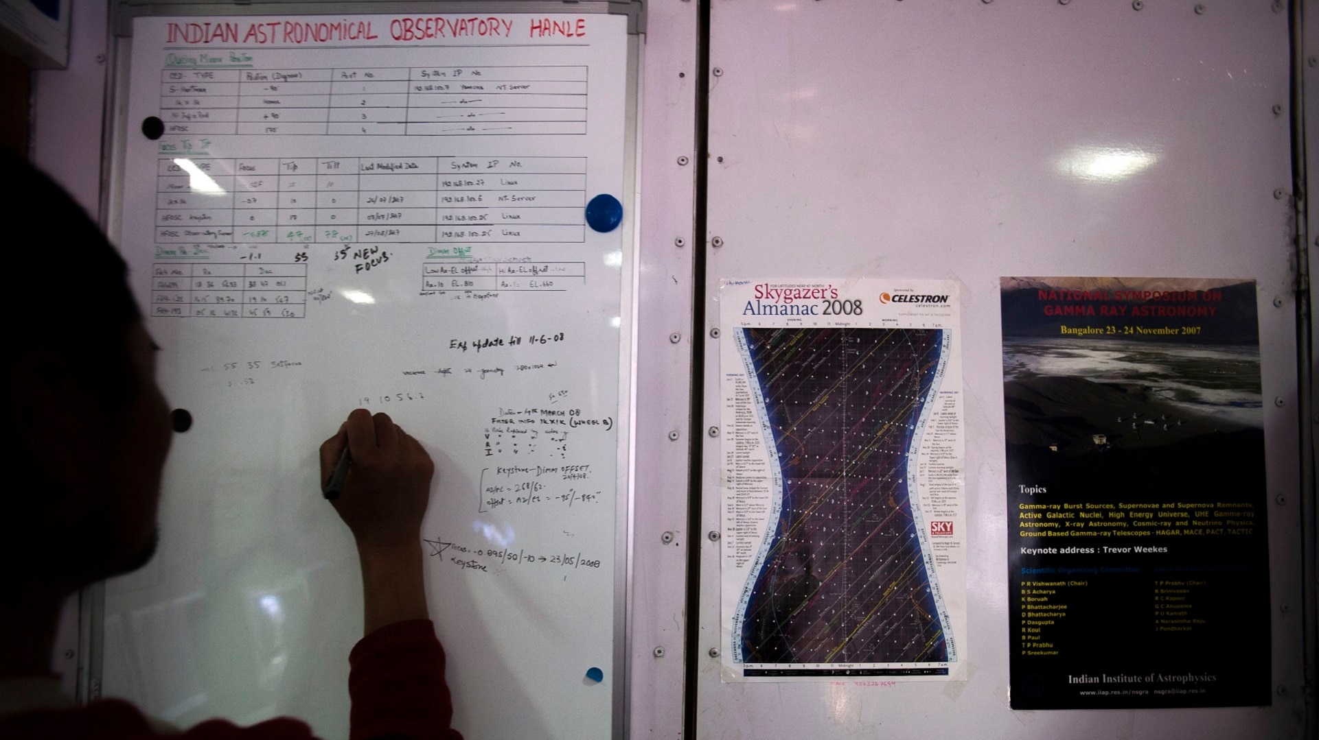
[/imgcenter] Maintaining log records inside the observatory [imgcenter]
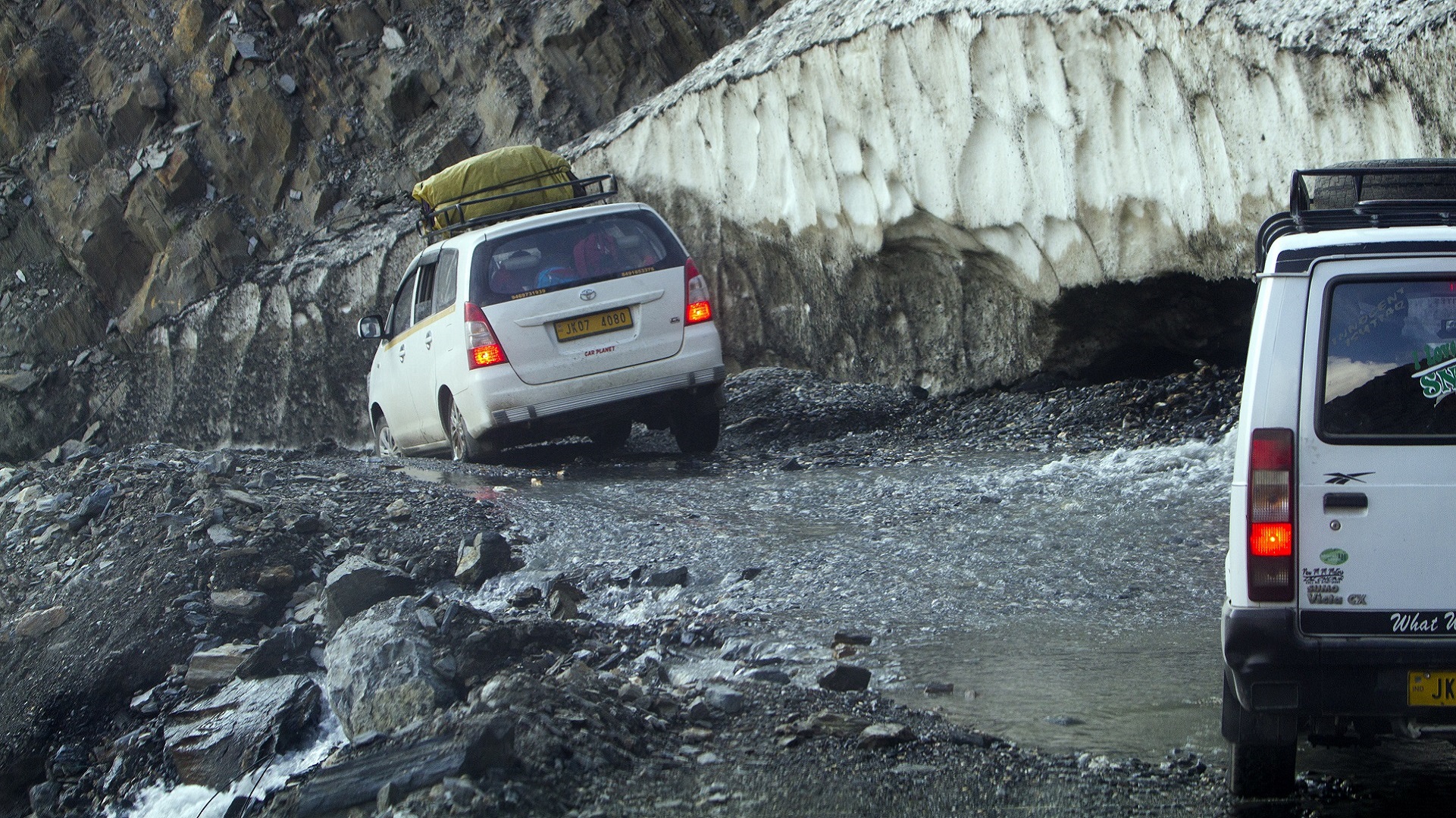
[/imgcenter] A breathtaking valley view after crossing Zojilla Pass at the Srinagar-Leh road. [imgcenter]
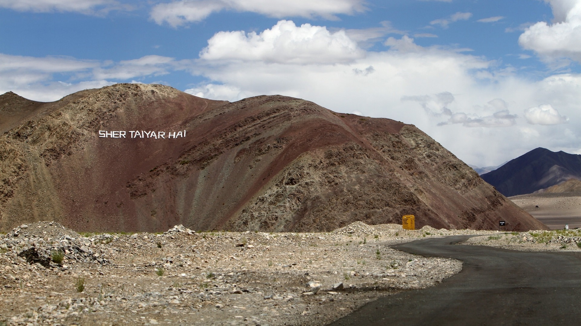
[/imgcenter] Interesting writings on the hills, by Indian military forces. [imgcenter]
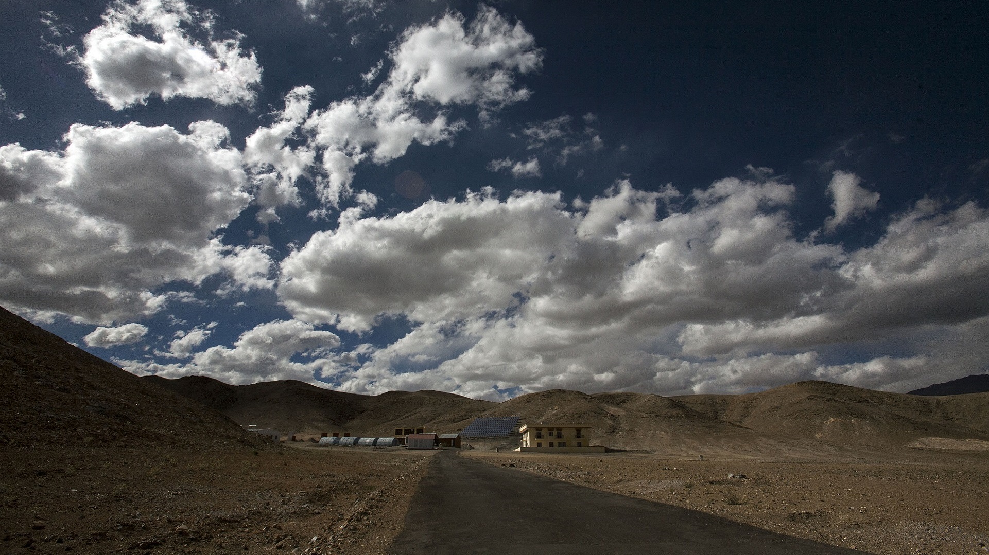
[/imgcenter] The tiny and beautiful Nyoma village, on the way to Hanle. [imgcenter]
[/imgcenter] Nyoma village, on the way to Hanle. [imgcenter]
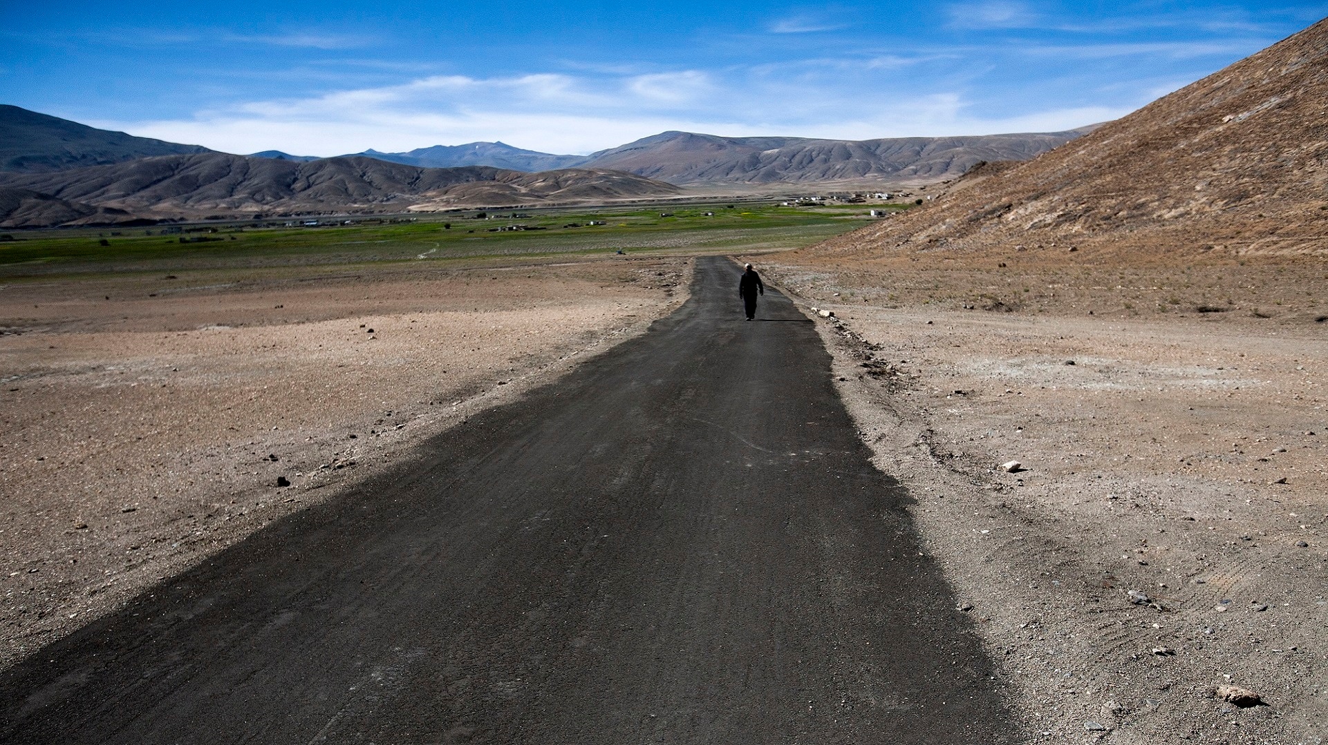
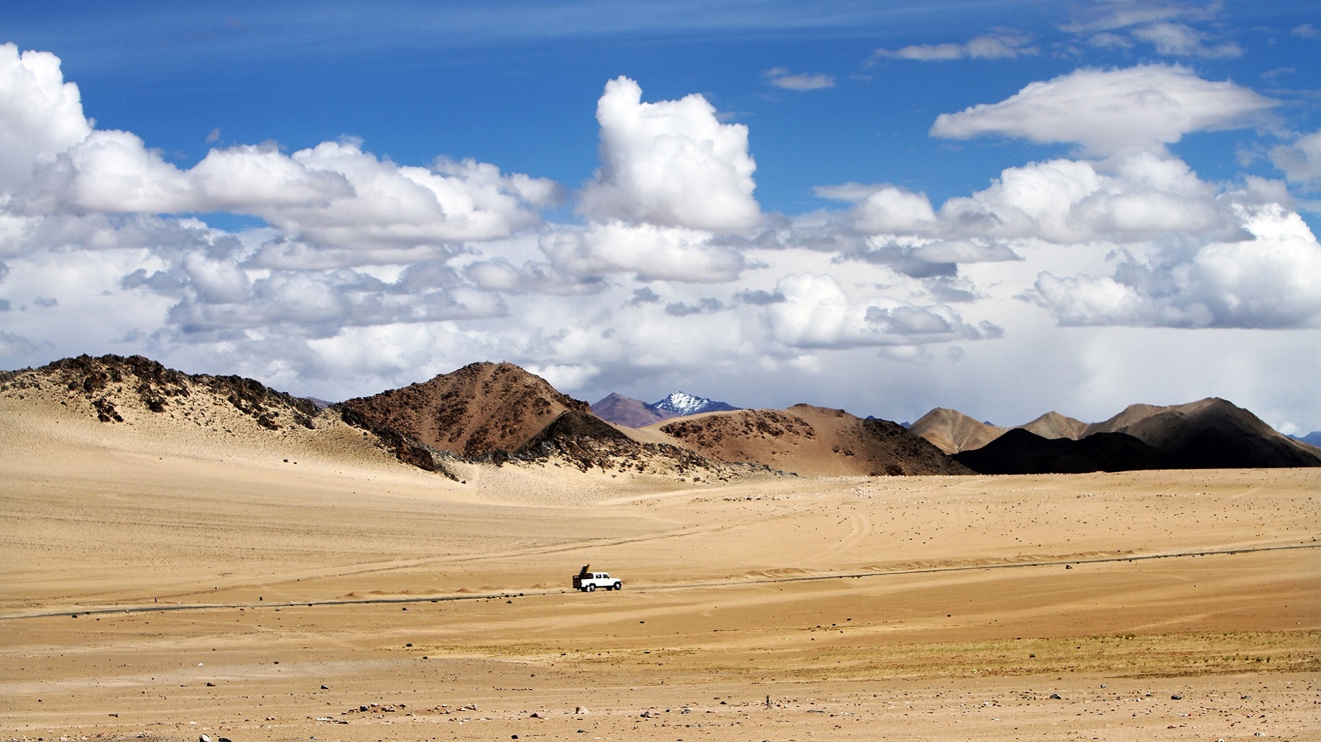
[/imgcenter] The lonely roads to Hanle village. [imgcenter]
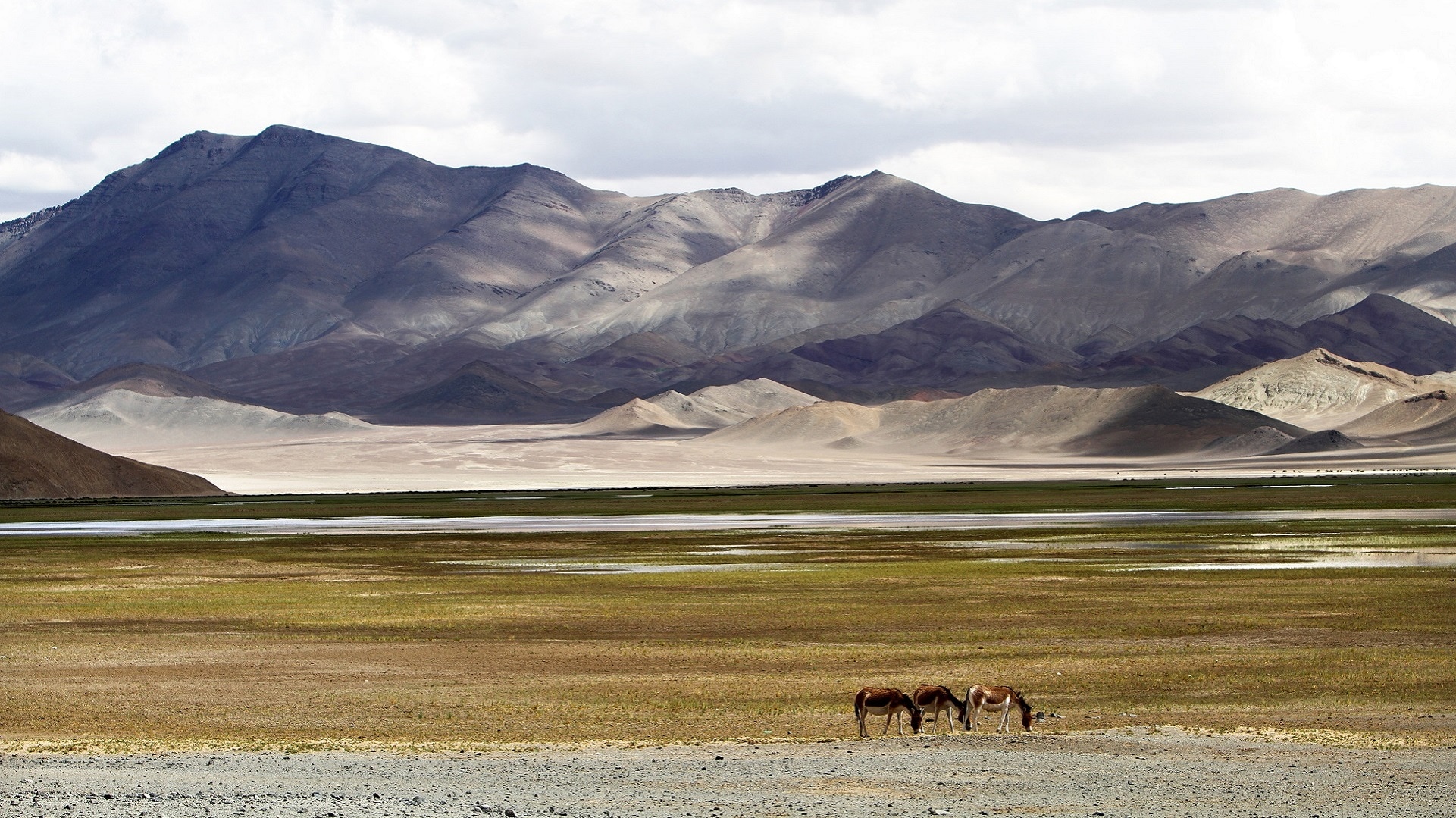
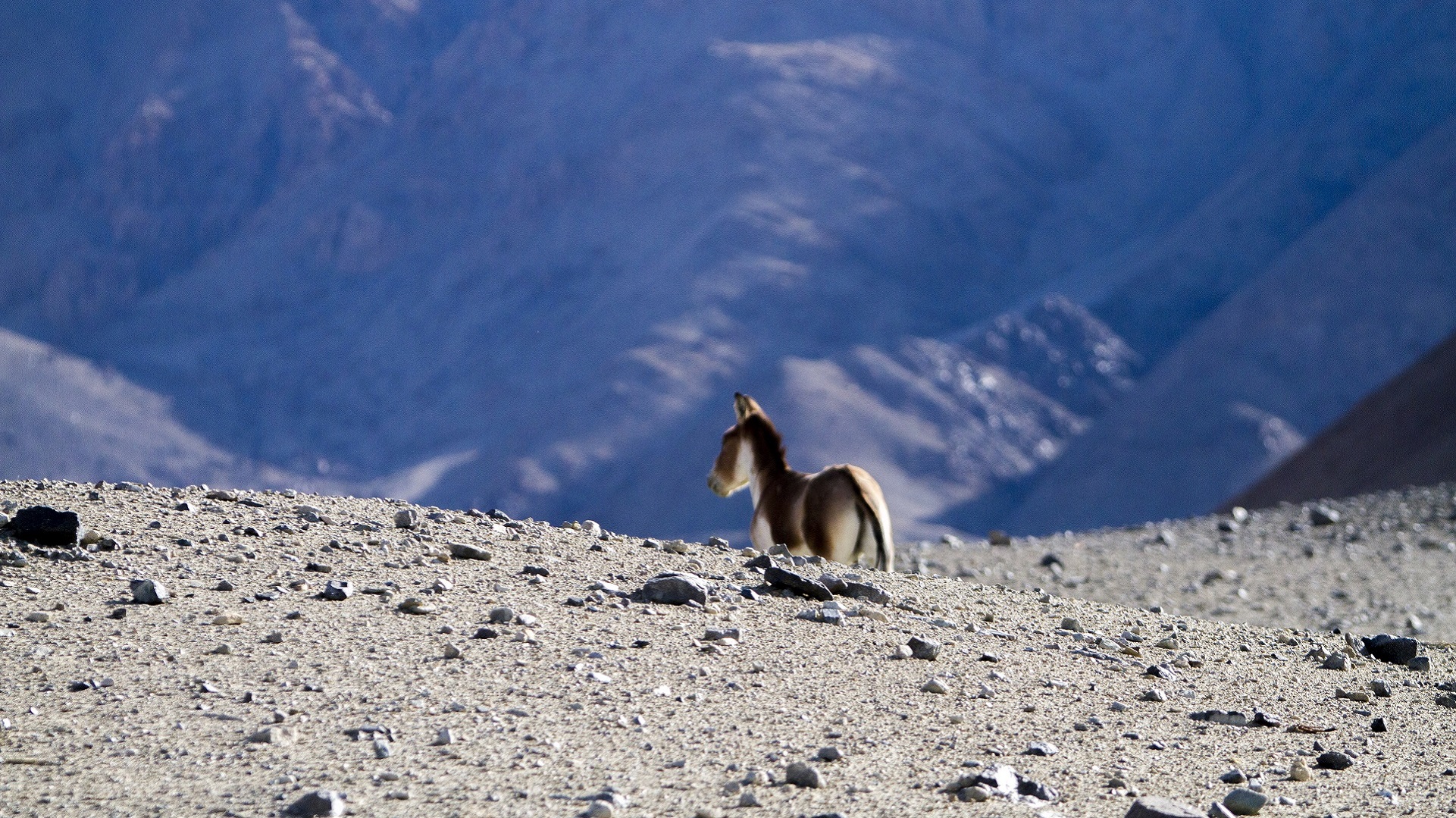
[/imgcenter] Wild asses roaming free near Here village, on the way to Hanle. [imgcenter]
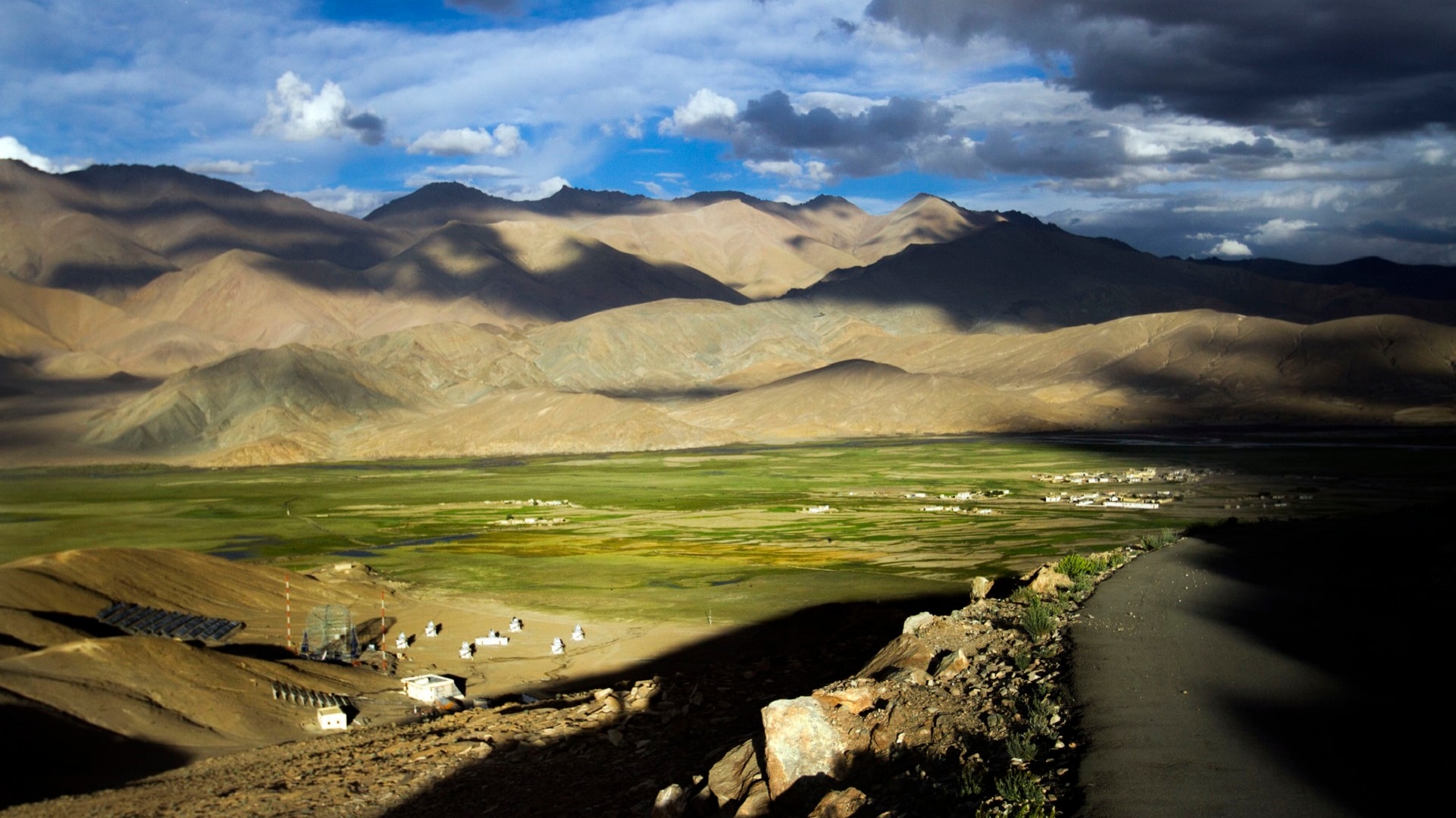
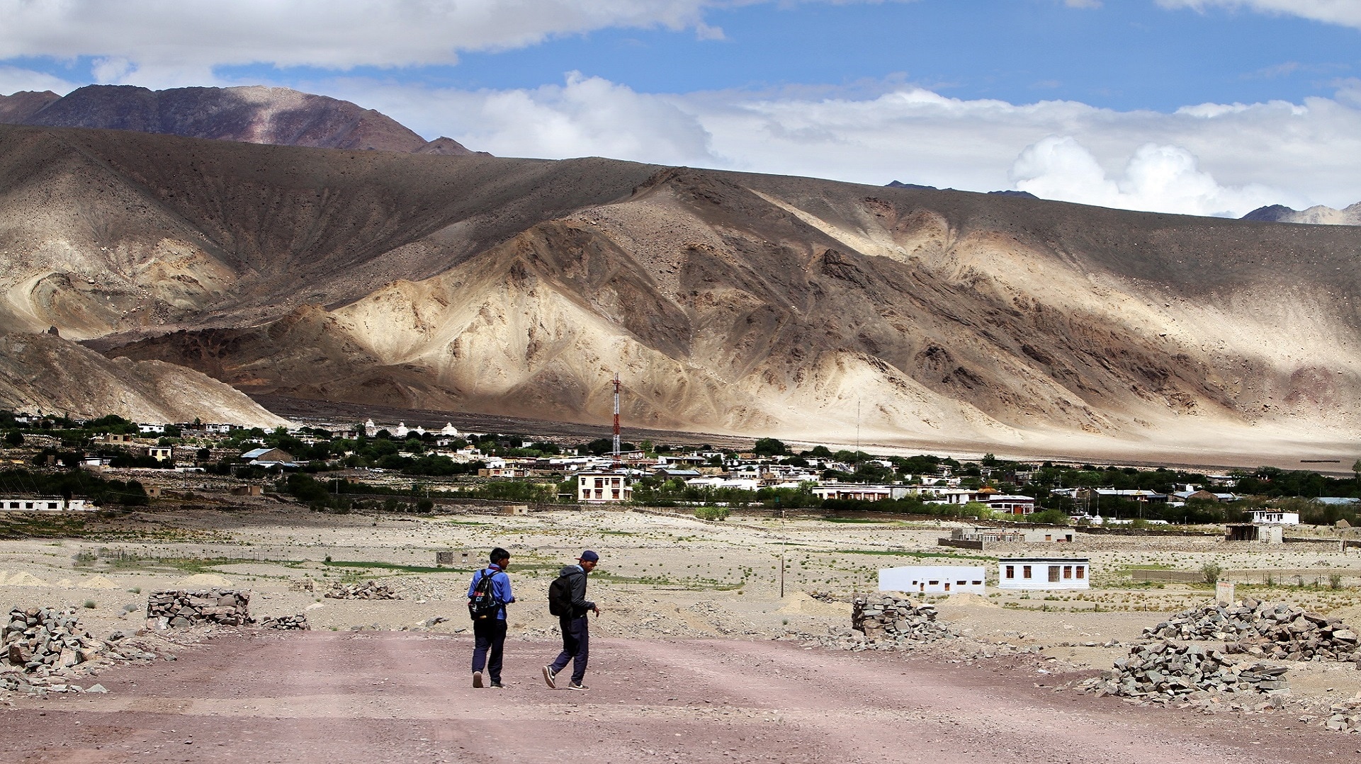
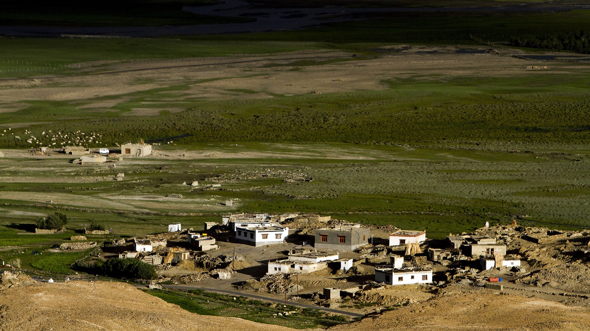
[/imgcenter] Top view of Hanle village. [imgcenter]
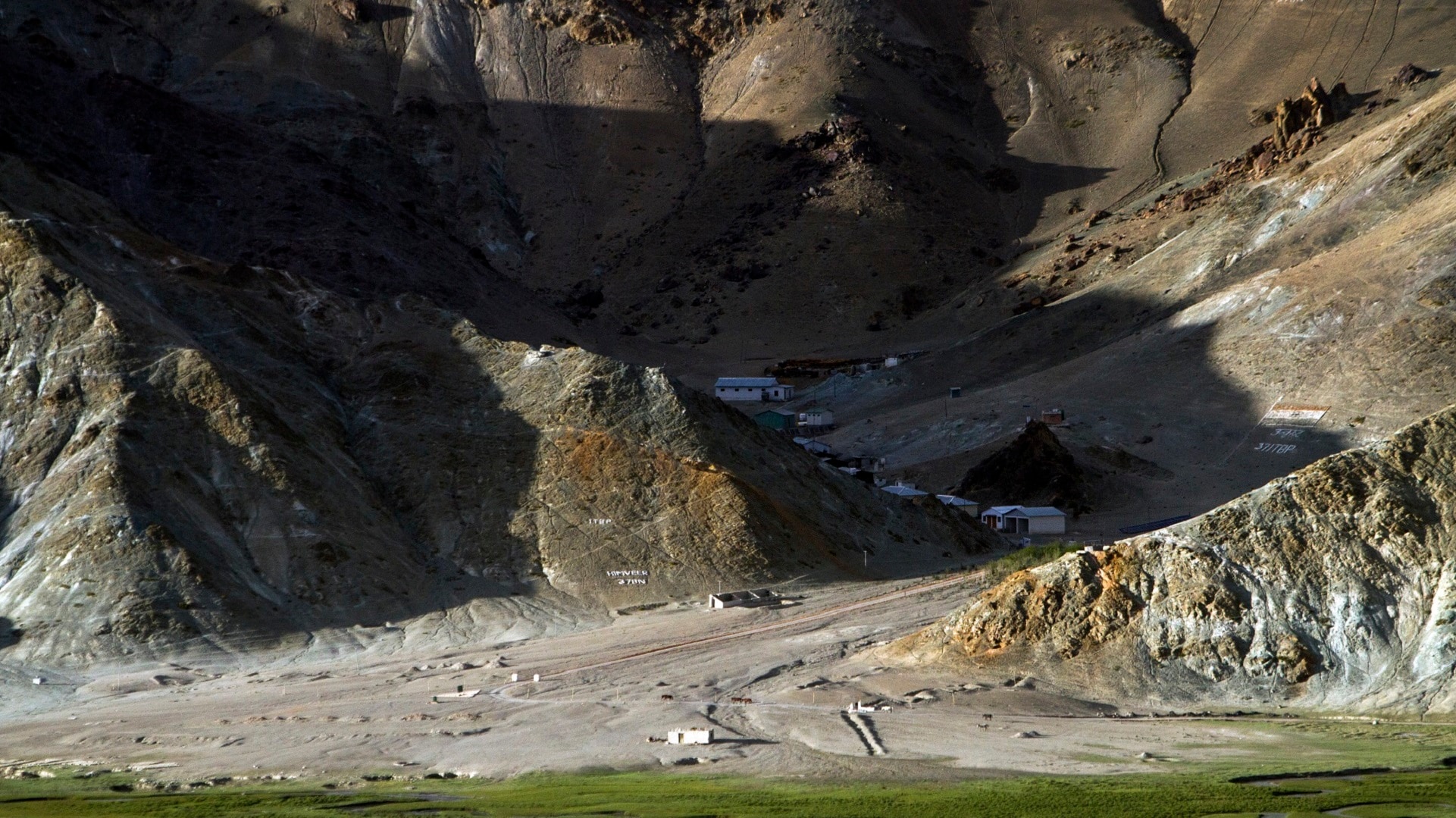
[/imgcenter] ITBP (Indo-Tibetan Border Police) installations near Hanle Observatory. [imgcenter]
[/imgcenter] View of the Hanle Monastery. [imgcenter]
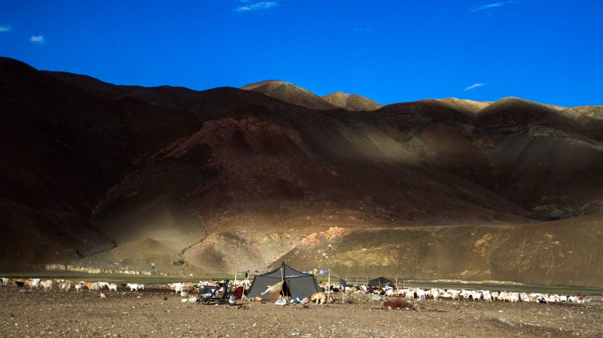
[/imgcenter] On a pleasant early morning, a shepherd family can be seen camped near Hanle village . [imgcenter]
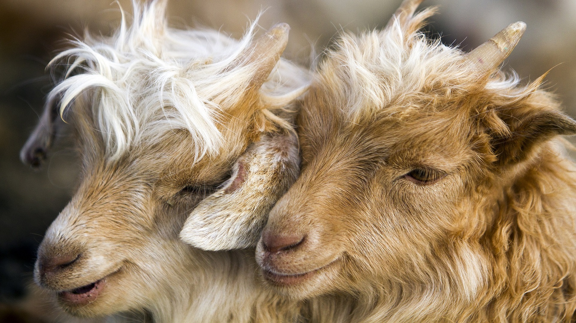
[/imgcenter] Pashmina goats. The Pashmina Wool Development Scheme (PWDS) India produces the finest Pashmina wool in the world, the main and best quality coming from the Changthang plateau of Ladakh region of Jammu and Kashmir. Pashmina wool is produced by Changra (Pashmina) goats in Ladakh. [imgcenter]
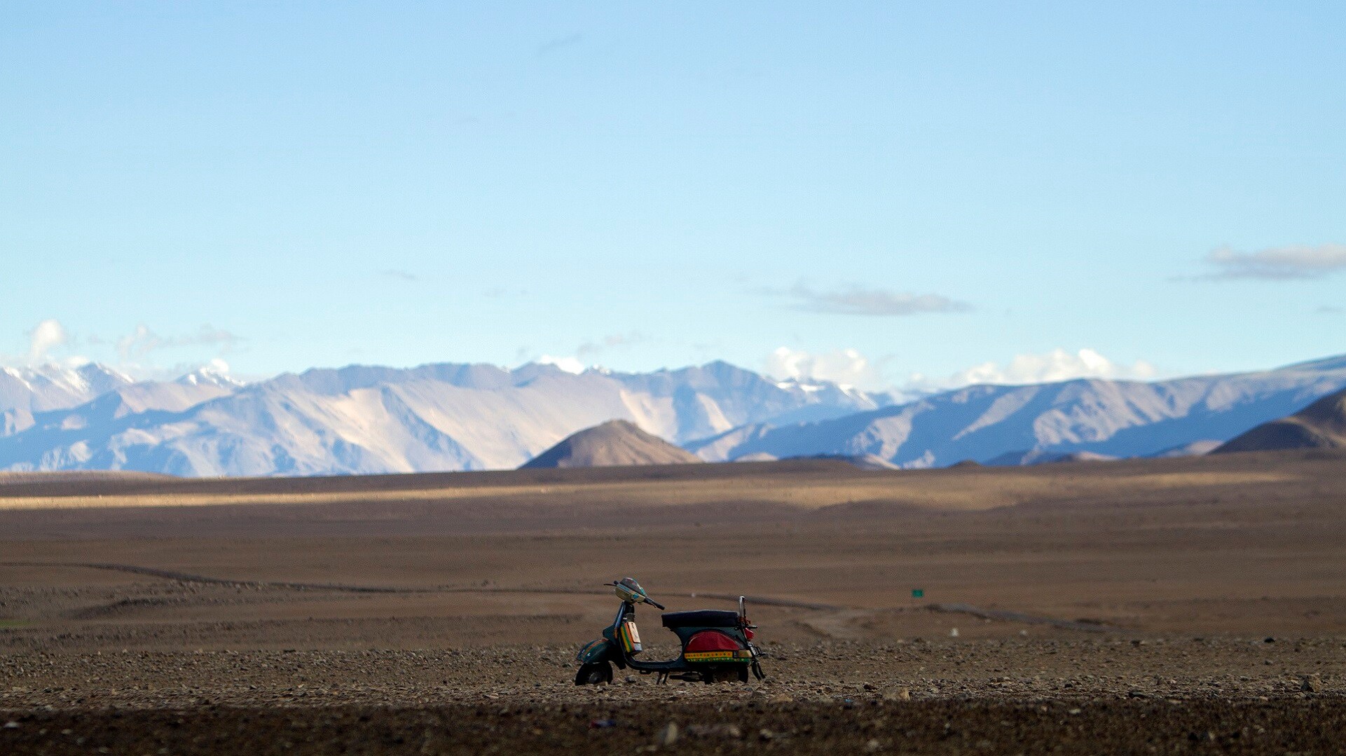
[/imgcenter] A lonely scooter standing in the deserts of Nyoma village on the way to Hanle Observatory. [imgcenter]
[/imgcenter] The Leh-Hanle road. [imgcenter]
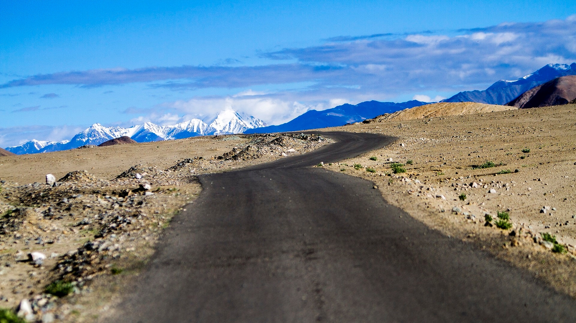
[/imgcenter] Wild asses roaming free near Here village on way to Hanle. [imgcenter]
[/imgcenter] ITBP women on a morning jogging session along the Leh-Hanle road. [imgcenter]
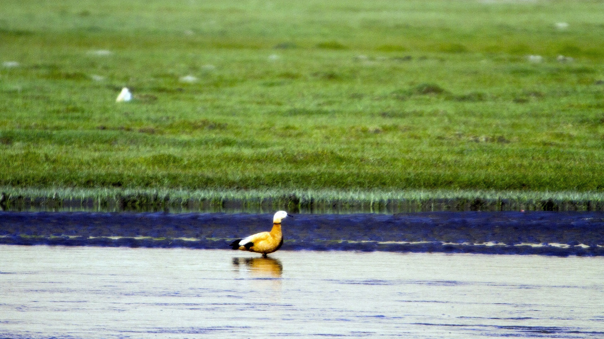
[/imgcenter] Golden wild ducks can be seen on the water bodies on Leh-Hanle road. [imgcenter]
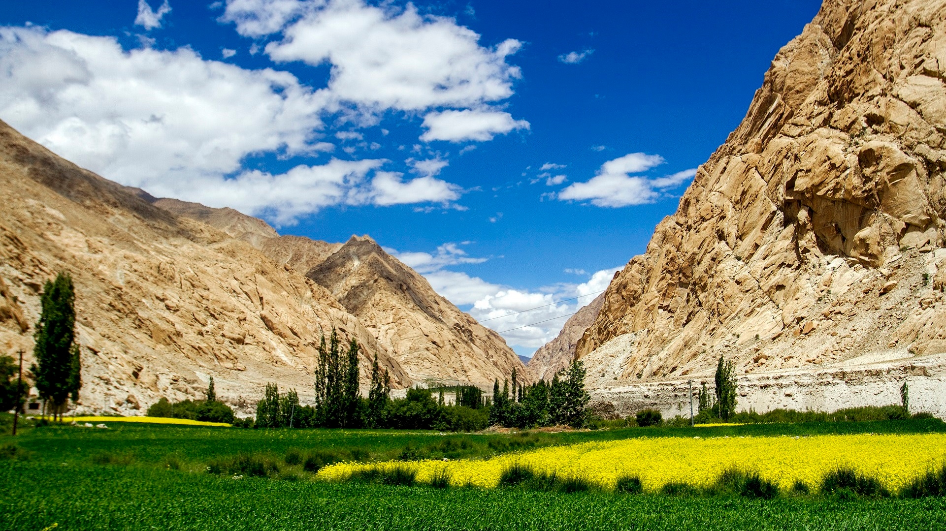
[/imgcenter] Beautiful village scenes can be observed while driving to Hanle village from Leh. [imgcenter]
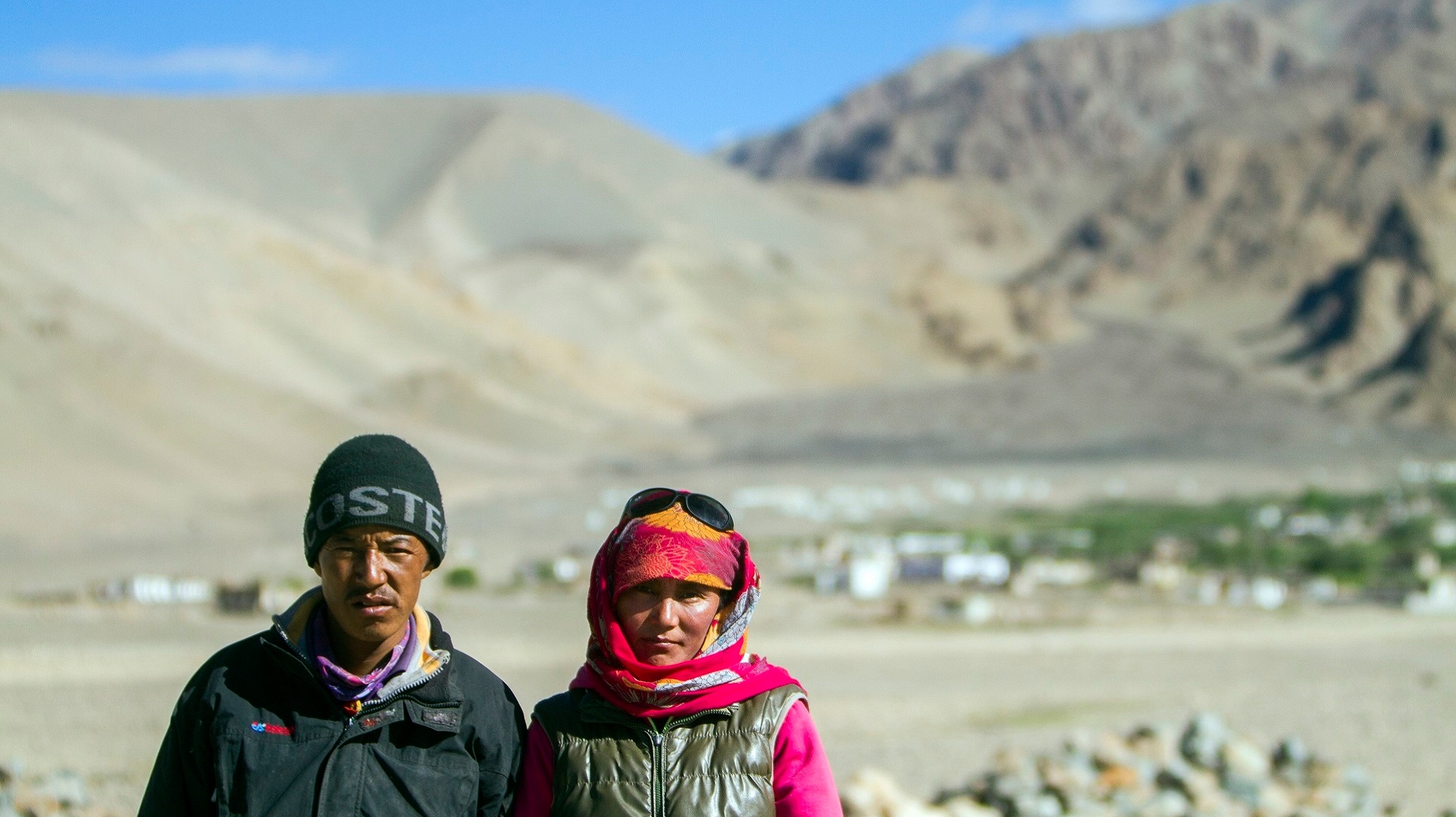
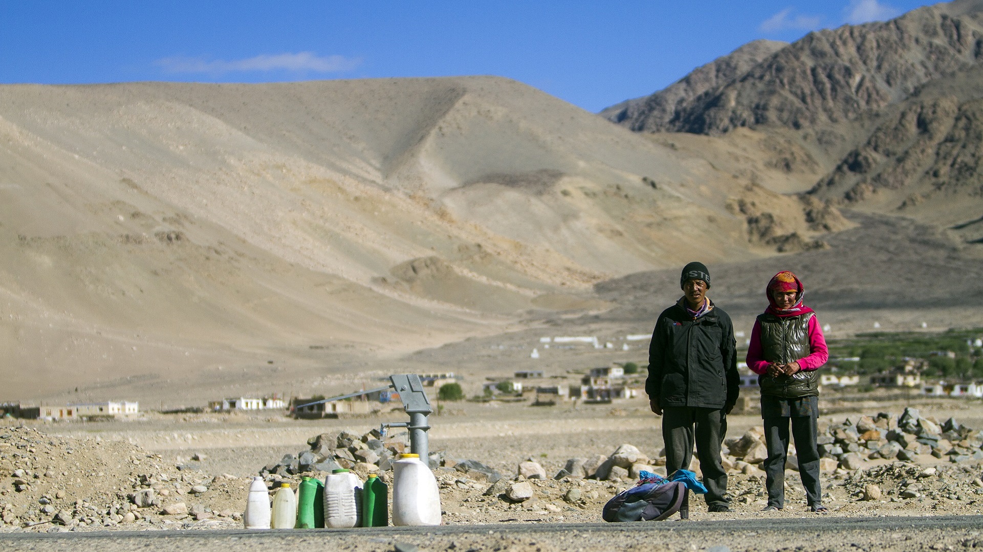
[/imgcenter] Rigzin and Saten (siblings) at Muth village, said they need to walk 8 km to fetch water from another village for their daily needs, on Leh-Hanle road. [imgcenter]
[/imgcenter] Rigzin and Saten at Muth village. [imgcenter]
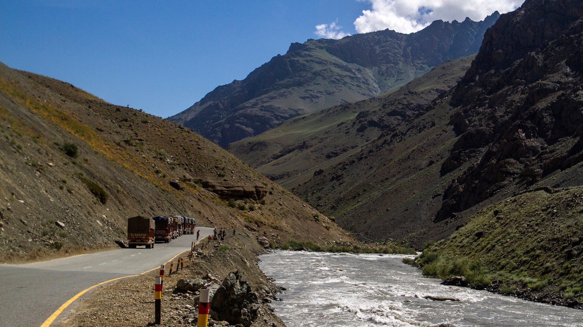
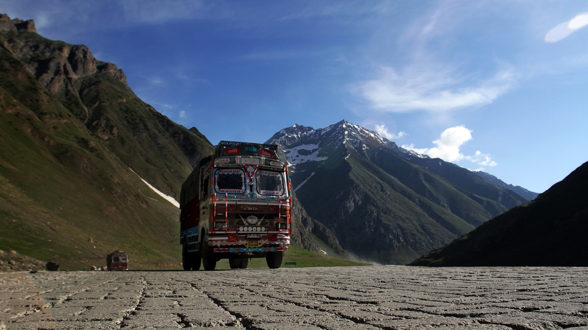
[/imgcenter] A military convoy moving along Hanle-Leh road. [imgcenter]
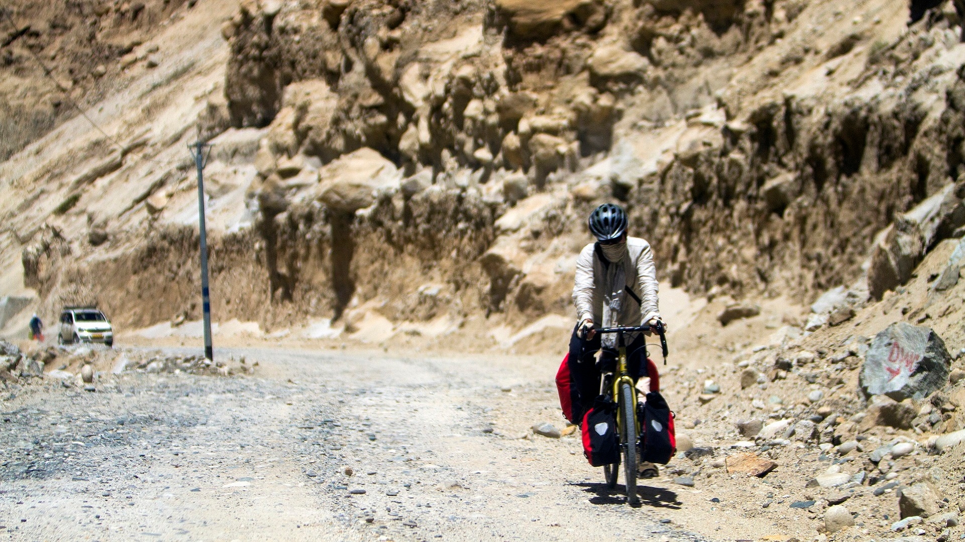
[/imgcenter] A lonely cyclist pedaling towards the Hanle observatory . [imgcenter]
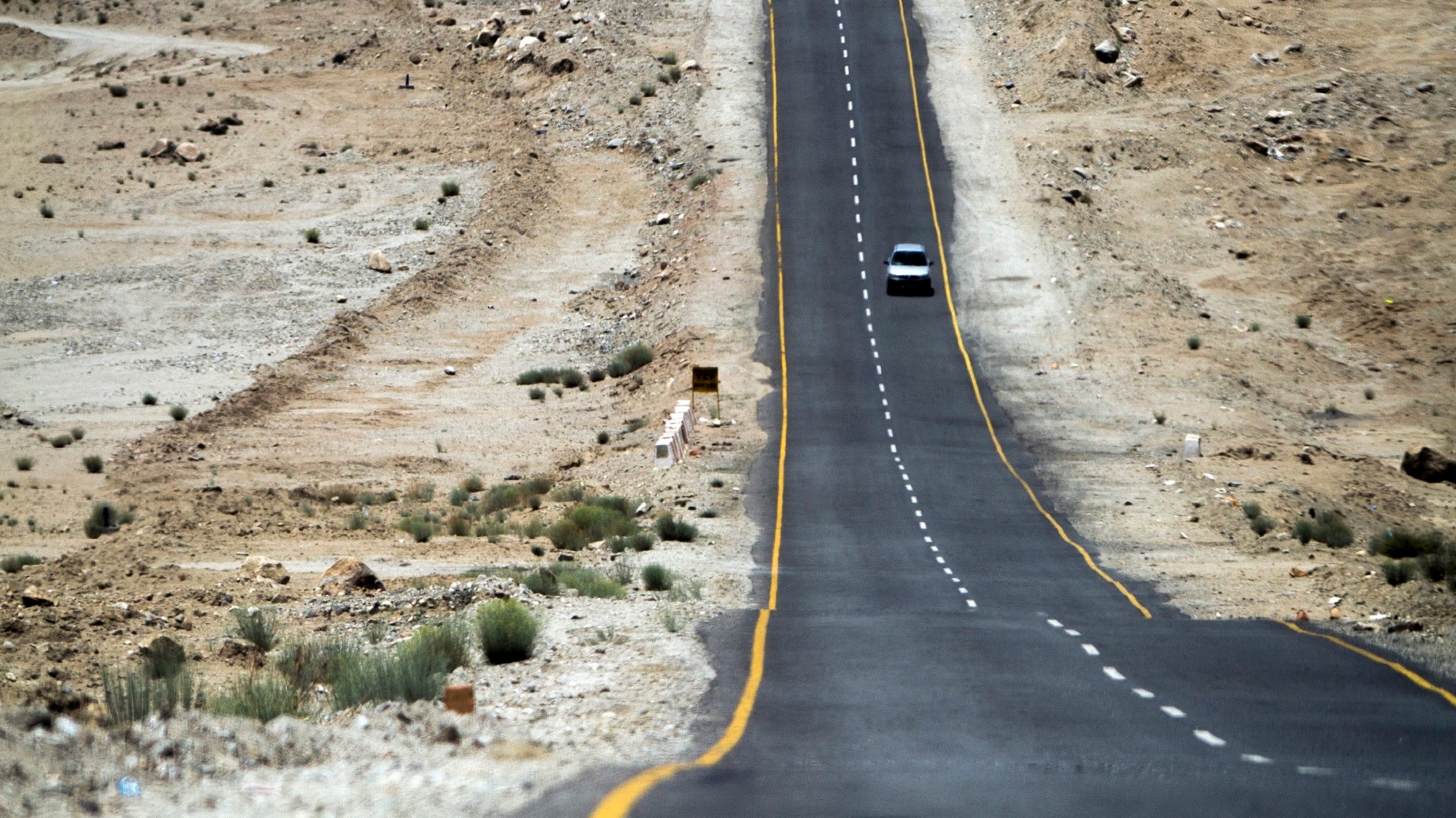
[/imgcenter] Ladakh roads are mostly well maintained. [imgcenter]
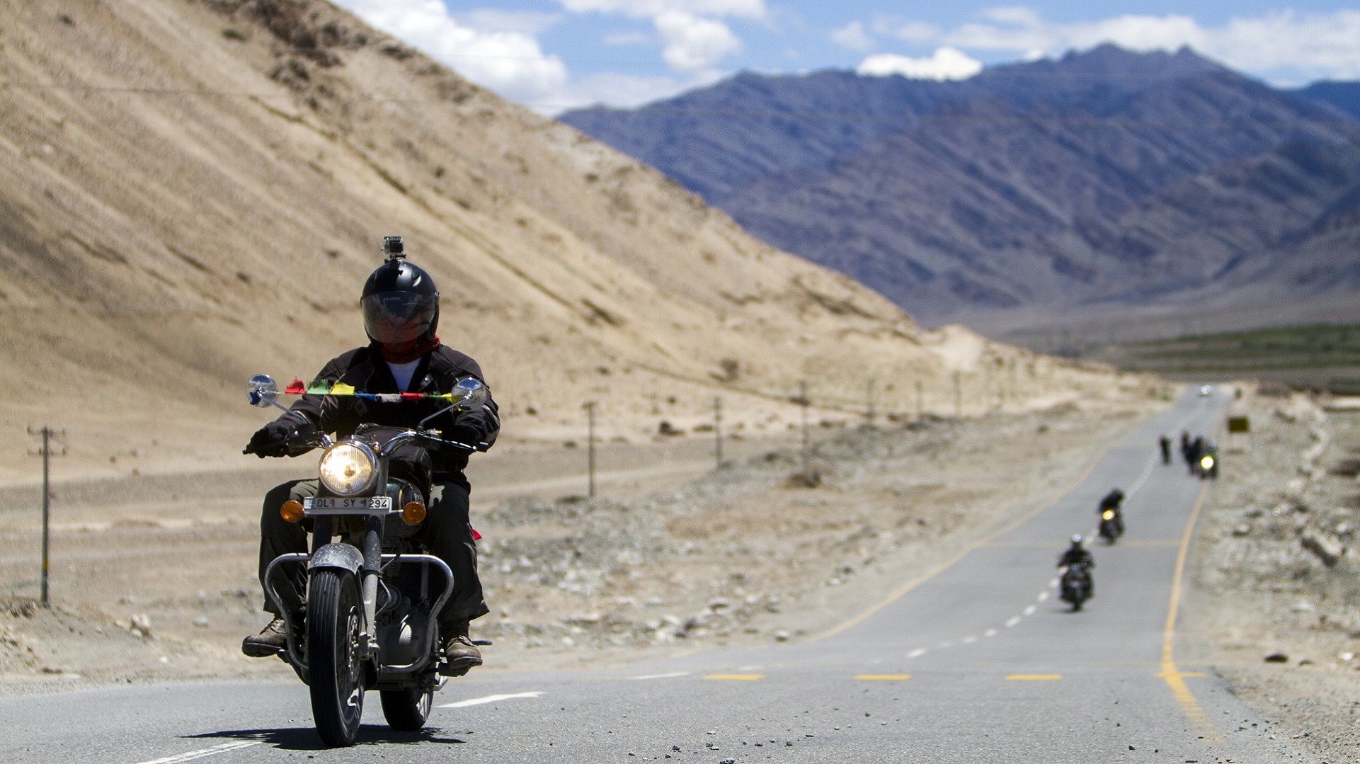
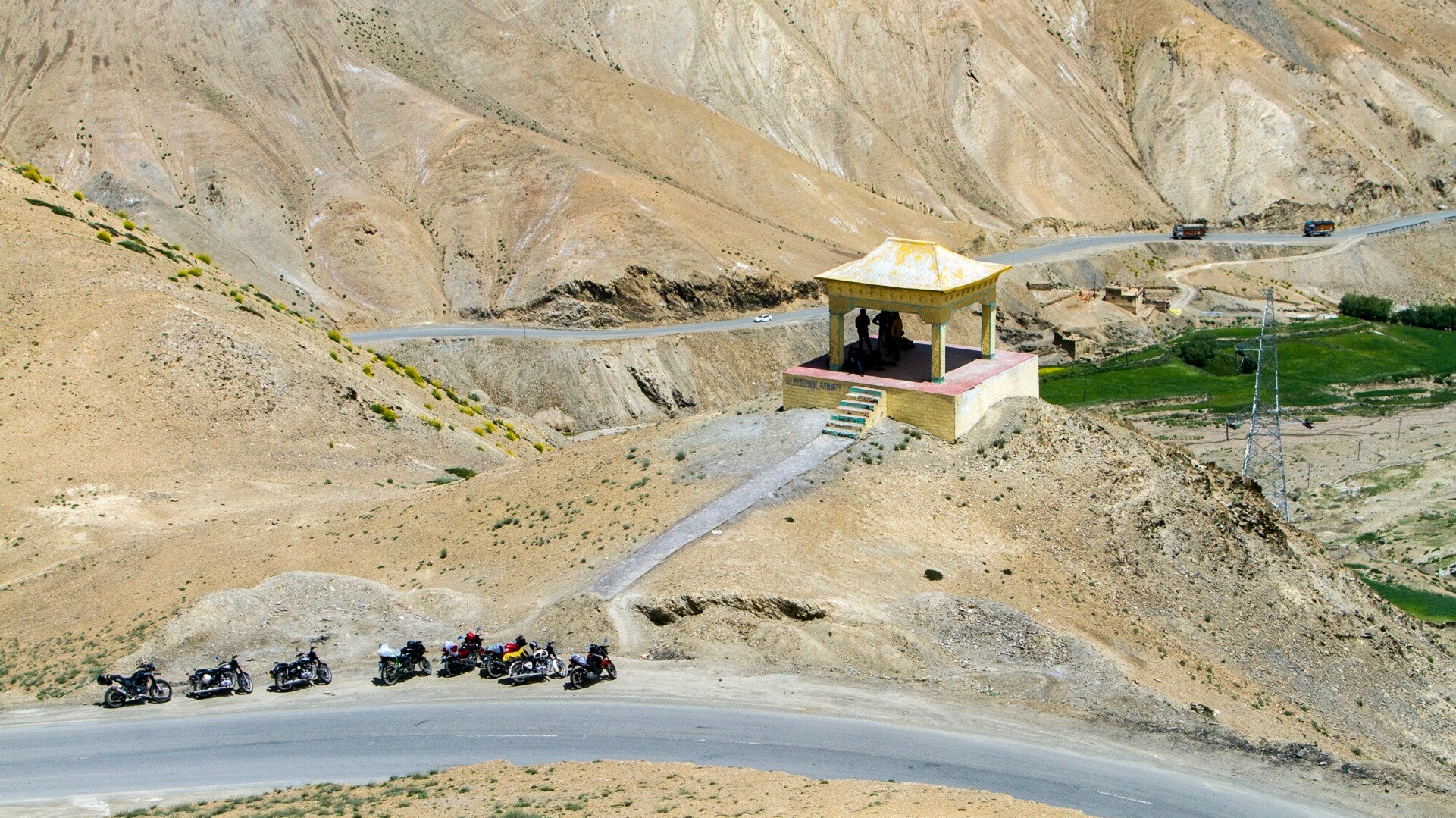
[/imgcenter] Lots of bikers can be seen in groups on Ladakh roads. [imgcenter]
[/imgcenter] Bikers on Ladakh roads. [imgcenter]
[/imgcenter] A shepherd with his flock near the Zojilla Pass. [imgcenter]
[/imgcenter] The tough terrain of Zojilla Pass: The Zozila (also know as Zojila or Zoji La) is one of the important mountain passes in India. At an elevation of 11,575 ft (3,528 metres) above sea level, the pass lies amid Leh in the Western Himalayan Mountain Ranges and Srinagar. This strip of rock is not a place for a Sunday drive. It’s 9 km long, about 3,500 mtrs above sea level and provides an important link between Ladakh and Kashmir. [imgcenter]
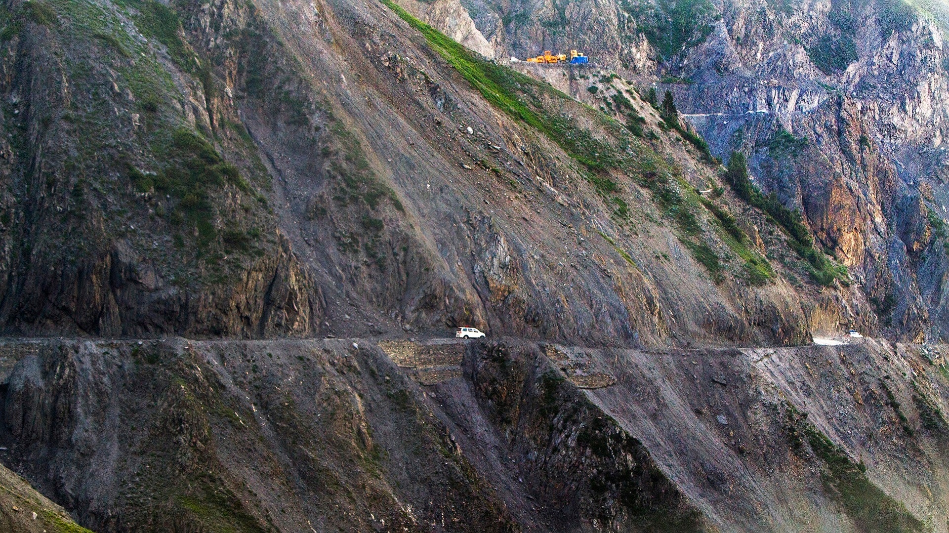
[/imgcenter] At the Zojilla Pass. [imgcenter]
[/imgcenter]
End of Article