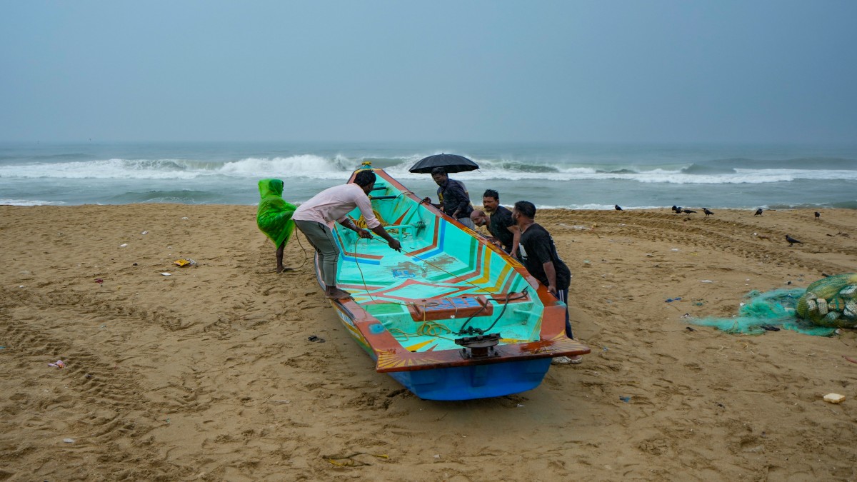
 "Fishermen anchor a boat during rain at Marina beach, along the coast of the Bay of Bengal in Chennai, Tuesday, November 26, 2024. PTI")
The deep depression over the Southwest Bay of Bengal is likely to intensify into cyclone Fengal on Wednesday (November 27).
The India Meteorological Department (IMD) has warned that it is expected to move north-northwestwards towards the Tamil Nadu coast over the next two days.
Chief Minister MK Stalin chaired a high-level meeting to review preparedness and has deployed NDRF and state teams to vulnerable districts.
Here’s how the state is preparing for the cyclone.
Cyclone Fengal likely to intensify
Once it intensifies on Wednesday, the storm will be identified as Fengal, a name proposed by Saudi Arabia according to a system used by countries to identify storms in the North Indian Ocean. The name, in Arabic, reflects the cultural diversity of the naming panel.
This is the second post-monsoon season cyclone to hit the Indian coast, following Cyclone Dana, which passed over Odisha in late October as a storm of the “severe” category.
In its latest update, the weather agency has said the prevailing deep depression over the Northwest Bay of Bengal was located at about 130 kilometres east-southeast of Trincomalee, Sri Lanka, 400 kilometres southeast of Nagappattinam, 510 kilometres southeast of Puducherry and 590 kilometres south-southeast of Chennai.
The IMD said, “It is very likely to move north-northwestwards and intensify further into a cyclonic storm by Wednesday. Thereafter, it will continue to move in the north-northwestward direction towards Tamil Nadu coast and skirt the Sri Lankan coast during subsequent two days.”
Red alert in Tamil Nadu
Heavy to extremely heavy rainfall is forecast over Tamil Nadu, Puducherry and Andhra Pradesh between November 27 and 29.
Strong winds, ranging between 45-55 kilometres per hour with gusts up to 65 kilometres per hour, are likely along the affected coasts.
A “red alert” has been issued for Tamil Nadu on Wednesday and an “orange” alert on Thursday.
It is also warned that heavy rainfall will also affect coastal Andhra Pradesh, Yanam, Rayalaseema, Kerala and Mahe during the remaining days of this week.
In the meantime, Chennai and the neighbouring districts of Chengelpet, Kanchipuram, and Tiruvallur, the northern coastal city of Cuddalore, and the Cauvery delta regions, including Nagapattinam, were among the numerous locations in Tamil Nadu that experienced moderate rain.
Rough seas can also disrupt maritime activity and cause flooding in low-lying locations.
Meanwhile, several flight disruptions were also reported at the Chennai airport on Wednesday morning.
CM reviews preparedness
Tamil Nadu Chief Minister MK Stalin convened a high-level meeting in view of the storm with the district collectors and monitoring officers to assess the state’s preparedness for the heavy rainfall forecasted by the meteorological department.
“As a heavy rain warning has been issued, I have held a review meeting with the District Collectors of Mayiladuthurai, Villupuram, Nagapattinam, Tiruvarur, Thanjavur and Cuddalore to be ready and to instruct the Ministers to work from the field. The government is ready to face the rain. I request the public to be safe while going out,” he tweeted.
He highlighted that the government has relief camps and necessary equipment, including medical teams, earth movers, boats, and motor pumps, ready to handle the current situation.
Until November 29, fishermen have been cautioned not to venture to the sea, especially off the coasts of Sri Lanka and Tamil Nadu.
Due to the storm, residents in low-lying areas have been told to relocate to safer areas or relief camps.
NDRF teams deployed, schools shut
The 4th Battalion of the NSRF has sent out seven teams, including two canine units (each with 30 rescuers), in anticipation of the high to extremely severe rainfall that the Regional Meteorological Centre (RMC) has predicted for portions of Tamil Nadu and Puducherry through Thursday, according to Moneycontrol.
Due to the alert, a holiday has been declared for schools and colleges in Tamil Nadu’s Trichy, Ramanathapuram, Nagapattinam, Cuddalore, Villupuram, and Thiruvallur districts. In view of the rain holiday, Madras University has also postponed its semester exams scheduled for Wednesday.
Puducherry and Karaikal have also declared a holiday for all government and private schools.
Also read: No power, no food: How Andhra, Tamil Nadu are reeling from Cyclone Michaung
Factors that contributed to the storm’s intensification
Cyclone Fengal is the fourth cyclonic storm of the 2024 North Indian Ocean cyclone season.
Its intensification is attributed to warmer sea surface temperatures (28 degrees Celsius to 30 degrees Celsius) in the Bay of Bengal, which has provided the energy needed for the depression to strengthen.
The fact that the sea surface temperatures near Tamil Nadu coasts are cooler (ranging from 26 degrees Celsius to 28 degrees Celsius) might help in slightly weakening the cyclone before its landfall on Wednesday.
Experts also attribute the formation of the cyclone to global climate change patterns, which lead to increased storm activity and intensity in the past few years.
With inputs from agencies