
 "China’s bridge across Pangong Lake now operational: How worried should India be?")
China is at it again. And Beijing’s latest action could have serious repercussions for India’s security.
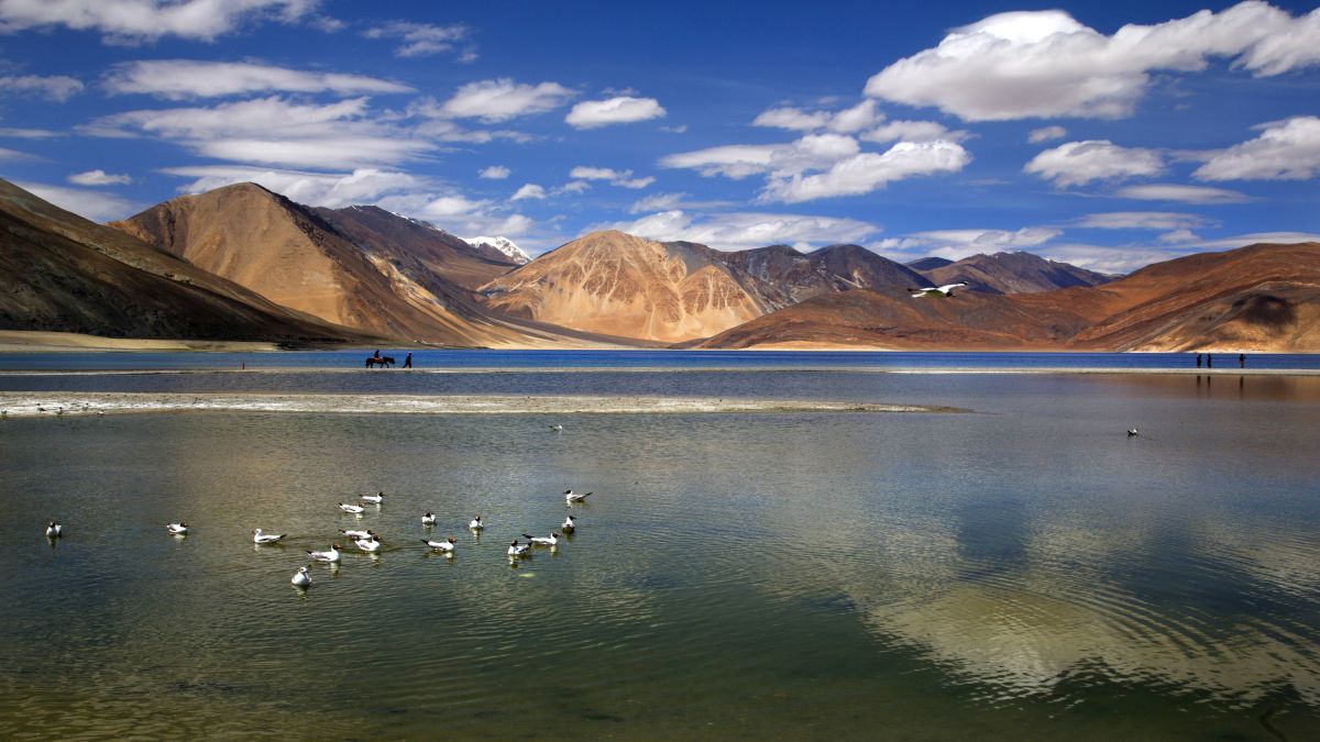
Visuals show that China has completed the construction of a 400-metre bridge connecting the north and south banks of Pangong Lake, which is situated near the Line of Actual Control between India and China in Ladakh.
What do we know about this new construction and should India be concerned?
What’s the China’s bridge on Pangong Lake?
Satellite imagery as reported by NDTV, Hindustan Times and other media outlets, reveals that China’s People’s Liberation Army (PLA) has finished construction of the nearly 400-metre bridge, located about 25 km from the Line of Actual Control. NDTV further reported that the visuals showed vehicles crossing the newly-constructed bridge.
It was in 2022 that reports emerged of China building this bridge over the Pangong Tso on its territory in Khurnak, the narrowest part of the lake. Satellite imagery expert Damien Symon, who goes by the X handle of _defestra, had then said that the bridge connecting the north and south banks of Pangong Lake would be ready for use shortly.
A retired Indian Army general had then confirmed the same to CNBC, adding that the new bridge was capable of supporting tanks and armoured personnel carriers.
When reporters had posed questions about the bridge to the government, then External Affairs Ministry spokesman Arindam Bagchi had said: “We have seen reports of a bridge being constructed by China on Pangong Lake alongside its earlier bridge. Both these bridges are in areas that have continued to be under the illegal occupation of China since the 1960s.
“We have never accepted such illegal occupation of our territory, nor have we accepted the unjustified Chinese claim or such construction activities,” he said.
The bridge, as of today, shortens the 130-kilometre distance between the southern and northern banks of the lake. According to a report by The Print, the bridge will cut down a 180-km loop from Khurnak to the south banks through Rutog county in Tibet.
Impact Shorts
More ShortsNDTV further quoting Damien Symon said, “The new bridge over Pangong Lake grants Chinese forces a direct, shorter route for rapid troop deployment. Previously, the PLA had to navigate the lake’s entire eastern section to reach conflict zones, a lengthy detour that hampered their response time in an active conflict zone.”
Is it a concern for India?
The location of the bridge, near Pangong Tso, is a worry for India as it highlights China’s expansionist plans for Ladakh.
As General Rohit Gupta (retired), who served with the Fire and Fury Corps of the Northern Command of the Indian Army, told CNBC, “What the bridge adds to Chinese capabilities is the ability to speedily move forces between the north and the south banks of Pangong Tso lake, which they were earlier lacking.”
Defence experts note that the constructed bridge will help reduce the time China needs to launch a quick operation in the mountains. Moreover, it will help Chinese troops along with their tanks access areas in the southern banks like the Rezang La where they were outsmarted by the Indians in 2020.
Speaking on the importance of the bridge, Air Vice Marshal (retired) Manmohan Bahadur, an aviator who served extensively in Ladakh region, told Hindustan Times: “The Chinese have built a vital asset that will be of tremendous help to maintain their deterrence posture.”
The completion of the bridge is also another example of how China continues to ramp up its infrastructure in the region and lay claim to different parts around the LAC. Since the 2020 Galwan clash in which 20 Indian soldiers died, China has significantly increased its activity in all the three sectors of the 3,488-km LAC, stretching from Ladakh to Arunachal Pradesh.
In April, a report by journalist Rajat Pandit revealed that China has been using dual-use ‘ Xiaokang’ villages and other border infrastructure to strengthen its presence along the LAC. Earlier this year, Beijing completed the construction of a road from the north of Samzungling to the Galwan Valley, providing the PLA with a 15-km shorter alternate axis to rapidly build-up troops in the area.
The PLA has also been building tunnels, helipads, bridges and bunkers in other stretches of the LAC. Furthermore, China has deployed additional fighters, bombers, and reconnaissance aircraft in the region.
What does India say?
Officially, India hasn’t reacted to the new visuals as of yet. However, Hindustan Times citing sources said that India has undertaken a wide range of steps to bolster infrastructure and match steps taken by China’s PLA.
Meanwhile, reacting to the visuals, Congress MP Manish Tewari said on X: “China has built a bridge that connects the north and south bank of Pangong Lake. It has serious strategic consequences for India as it allows China to quickly move troops from one bank of the Lake to the other. It provides strategic dominance to China of the Pangong Lake sector. By its silence, GOI is enabling China to create new facts on the ground on a daily basis.”
Even Congress chief Mallikarjun Kharge questioned the construction of the bridge, slamming the government’s “apathy” on the issue. He wrote on X: “Is it not true that China has built and operationalised a bridge connecting the north and south banks of Pangong Lake, which allows it to have a strategic dominance in the sector, close to our LAC?”
With inputs from agencies
 "Russian drones over Poland: Trump’s tepid reaction a wake-up call for Nato?")
 "As Russia pushes east, Ukraine faces mounting pressure to defend its heartland")
 "Why Mossad was not on board with Israel’s strike on Hamas in Qatar")
 "Turkey: Erdogan's police arrest opposition mayor Hasan Mutlu, dozens officials in corruption probe")


